
National Geomatics Day: A Symbol of Data-Driven Governance and Sustainable Development in Iran
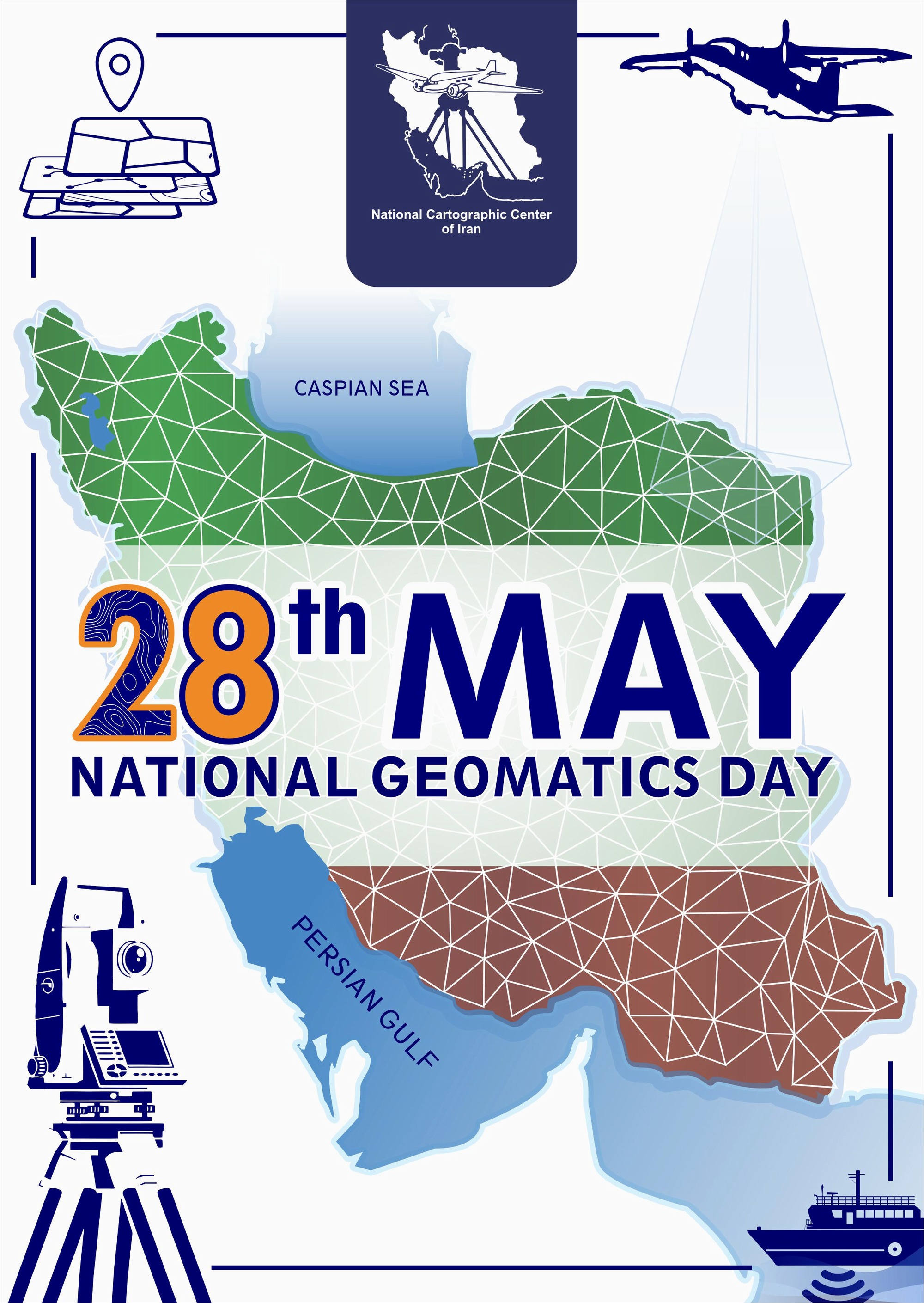
The 28th of May in the Iranian calendar is officially registered as National Geomatics Day, following a proposal by the National Cartographic Center (NCC) of Iran and approval by the Supreme Council of the Cultural Revolution. The Council selected the anniversary of the NCC’s establishment after reviewing several proposed dates, recognizing the Center as the highest specialized and governmental authority in the production of maps and spatial information in the country. The NCC plays a key role in promoting data-driven governance by providing a platform for sharing spatial information layers among organizations nationwide. The national spatial data infrastructure enables decision-making bodies to use a secure, standardized system instead of relying on limited and sometimes inaccurate data, while also reducing costs and preventing redundant efforts across different agencies. One of the Center’s major achievements is self-sufficiency in producing marine charts, as the NCC produces and updates over 100,000 electronic marine navigation charts annually without depending on foreign sources. This effort not only enhances shipping safety, national security, and strategic independence but also contributes significantly to the development of a maritime economy, following the latest international standards, generating one million in annual revenue, accumulating 5 million in value, and strengthening Iran’s geopolitical standing. Another critical area of activity is the production of maps and the operation of a land subsidence monitoring system. Since the early 2000s, the NCC has conducted detailed field surveys and satellite image processing, with results continuously shared with relevant authorities to support informed decision-making. As part of the Management and Planning Organization of Iran, the NCC also serves as the country’s national archive of spatial data, holding approximately six million maps and aerial photographs spanning seven decades. The NCC’s additional duties include participating in the development and communication of technical and executive regulations, supervising map and spatial information production activities, overseeing aerial imaging for major national projects, and producing national atlases. Dr. Seydaei, Director General of the NCC, issued a message marking National Geomatics Day, describing it as an occasion on which the tireless efforts of surveying and spatial information specialists, supported by precise and informed insight, lay the foundation for the country’s development, resource management, and progress. Dr. Seydaei noted that thanks to the dedication of NCC staff and all professionals across the country, and by relying on modern knowledge and advanced technologies, accurate and practical products and services continue to be delivered. He expressed gratitude to all those working in government, the private sector, and academia, and emphasized that National Geomatics Day is an opportunity to recall the vital role of surveying in achieving national goals and sustainable development. He expressed hope that continued efforts and greater synergy will lead to even more significant steps toward the country’s advancement and prosperity





comment