

NCC’s Three Specialized Geomatics Events Approved at the 36th ECO Regional Planning Council Meeting
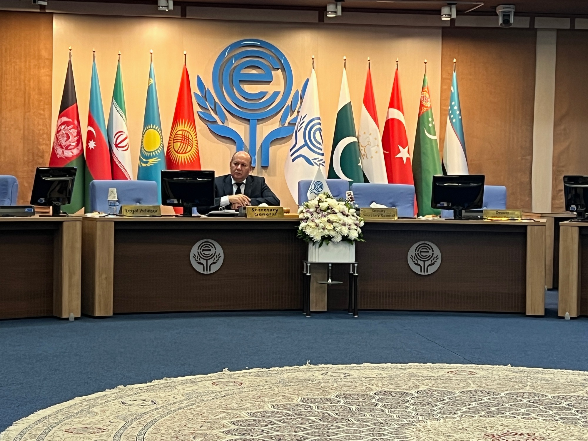
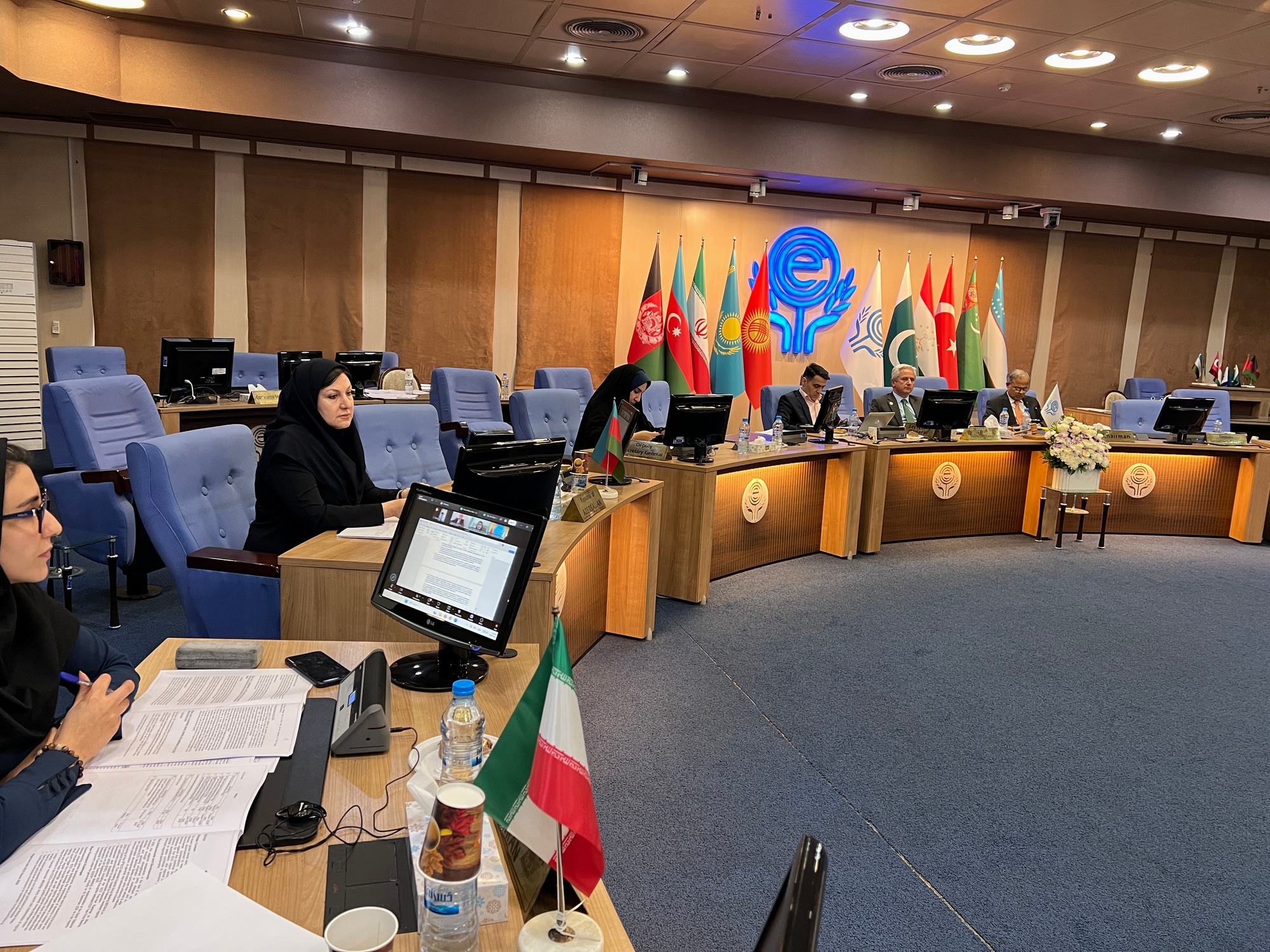
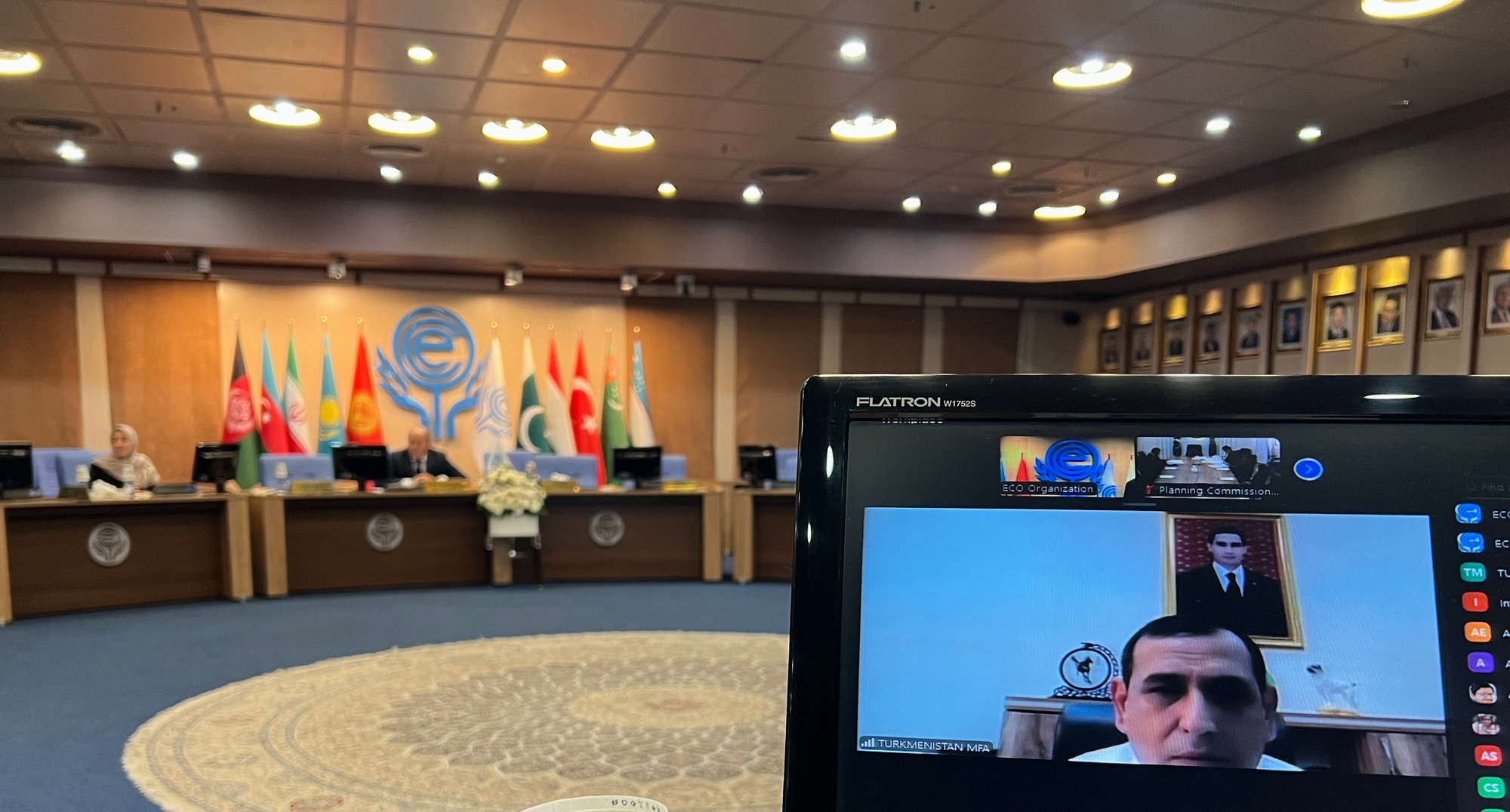
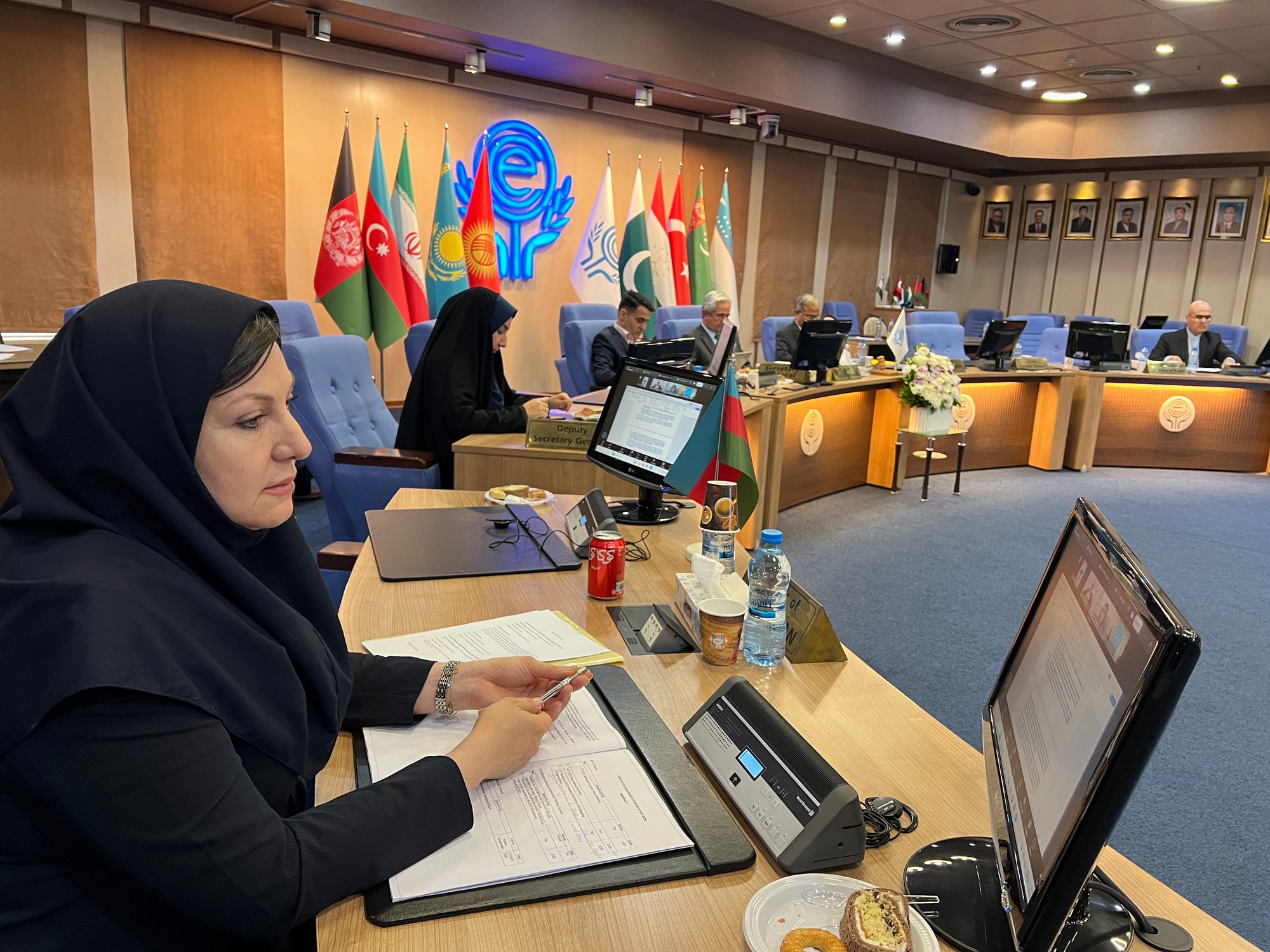
The 36th meeting of the Economic Cooperation Organization (ECO) Regional Planning Council (RPC) was held in Tehran from May 17 to 20, 2026. During this meeting, the National Cartographic Center of Iran (NCC) presented a comprehensive package of technical and specialized activities in the field of geomatics and spatial information and successfully obtained approval for organizing three key regional events for the year 2026. These three events, designed to harmonize spatial policies, enhance regional capacities, and produce joint cartographic products, will be hosted by the National Cartographic Center of Iran in July, August, and November 2026, with the participation of experts and senior authorities from ECO member states. The first event is an expert meeting titled "Geospatial Information Maturity Assessment in the ECO Region," scheduled for July 2026. This meeting will be held in collaboration with the ECO Directorate of Human Resources and Sustainable Development (HRSD) and will utilize the United Nations Integrated Geospatial Information Framework (UN-IGIF). The main objective of this gathering is to identify capacity gaps among member states, assess the current status of geospatial information management, and prepare a regional baseline report that paves the way for the development of sustainable spatial infrastructures. The second event is the "Technical Meeting for the Production of the ECO General Atlas," which will take place in August 2026. Defined under the framework of the Regional Planning Council (RPC), this meeting represents a fundamental step toward realizing one of the region's most important cartographic projects: the preparation of a comprehensive, authoritative, and harmonized atlas of ECO member states. During this meeting, surveying and mapping experts from member countries will discuss and decide upon the technical framework, thematic content, scale, map design, and mechanisms for providing national spatial data. The most significant expected outcomes of this meeting include finalizing the atlas structure, defining data contribution mechanisms and timelines for member states, and forming a technical editorial board to oversee the atlas production process. The third and highest-level proposed event is the "Second Meeting of the ECO Geomatics Committee at the level of Heads of National Mapping and Cadastral Authorities (He-GC)," scheduled for November 2026. This high-level meeting aims to review the progress of regional geospatial cooperation, approve the 2026–2027 work plan, and strengthen regional integration through harmonized geospatial policies. Establishing data-sharing protocols for natural disaster management and approving the committee’s roadmap are among the key anticipated outcomes of this meeting. With the approval of these three events at the 36th RPC meeting, the National Cartographic Center of Iran has taken a significant step toward regional leadership in the field of geospatial information and strengthening Iran’s scientific and technical position within the ECO. The exact dates of each will be announced later through the organization’s official website.





comment