

NCC Highlights Role of Geospatial Information in Sea-Oriented Sustainable Development at UN-GGIM-AP Symposium
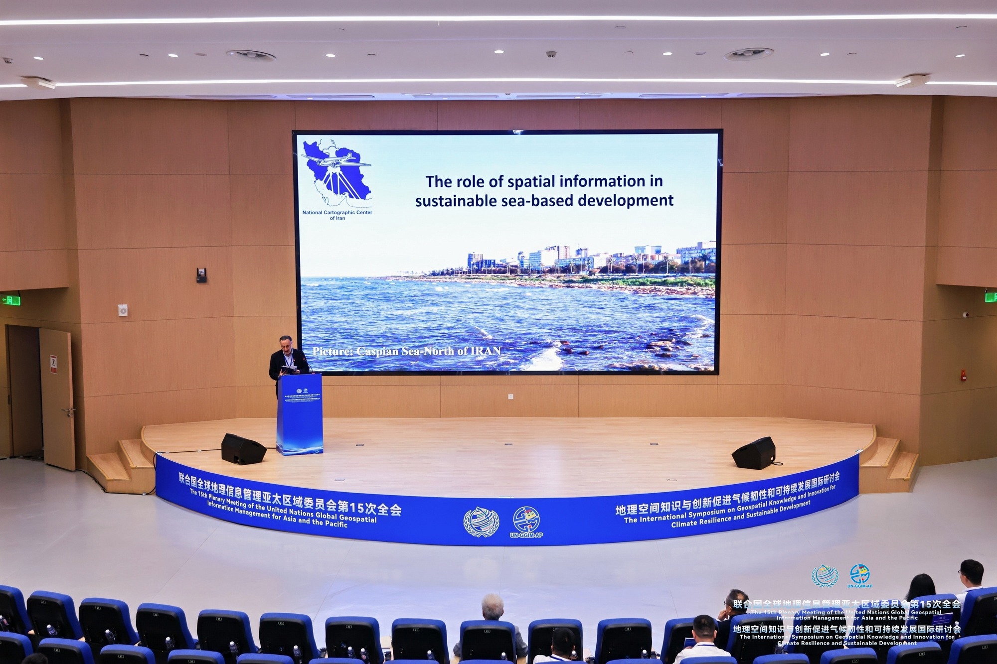
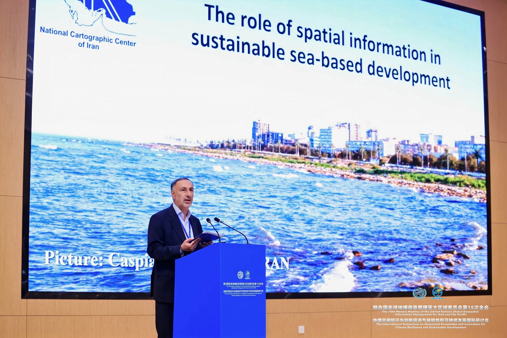
SANYA, China — Representatives of Iran's National Cartographic Center (NCC) delivered a keynote presentation on "The Role of Geospatial Information in Sea-Oriented Sustainable Development" at the 15th United Nations Global Geospatial Information Management for Asia and the Pacific (UN-GGIM-AP) meeting and its accompanying international symposium, currently underway in Sanya, China.
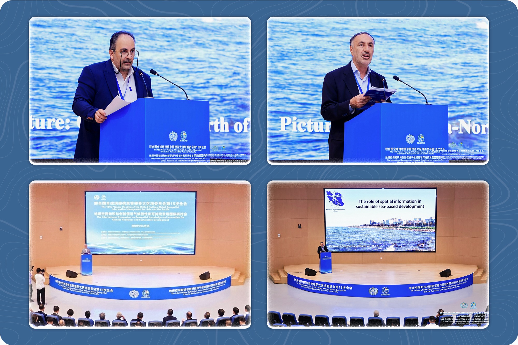
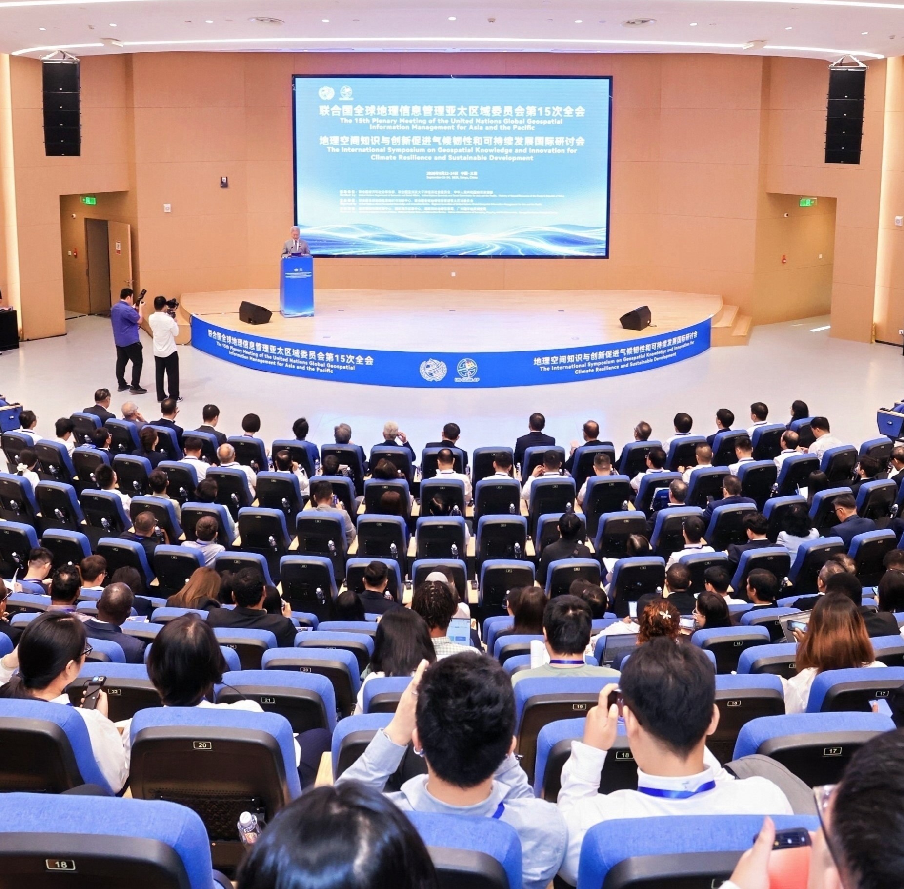
According to the Public Relations Office of the National Cartographic Center of Iran (NCC), quoting the International Cooperation and Engineering Services Directorate, the 15th United Nations Global Geospatial Information Management for Asia and the Pacific (UN-GGIM-AP) meeting resumed on its second morning with the launch of an international symposium on "Geospatial Knowledge and Innovation for Climate Resilience and Sustainable Development." The event is being organized jointly by the United Nations Global Geospatial Knowledge and Innovation Centre (UNGGKIC), UN-GGIM-AP, and China's Ministry of Natural Resources (MNR), and will run through the afternoon of the third day.
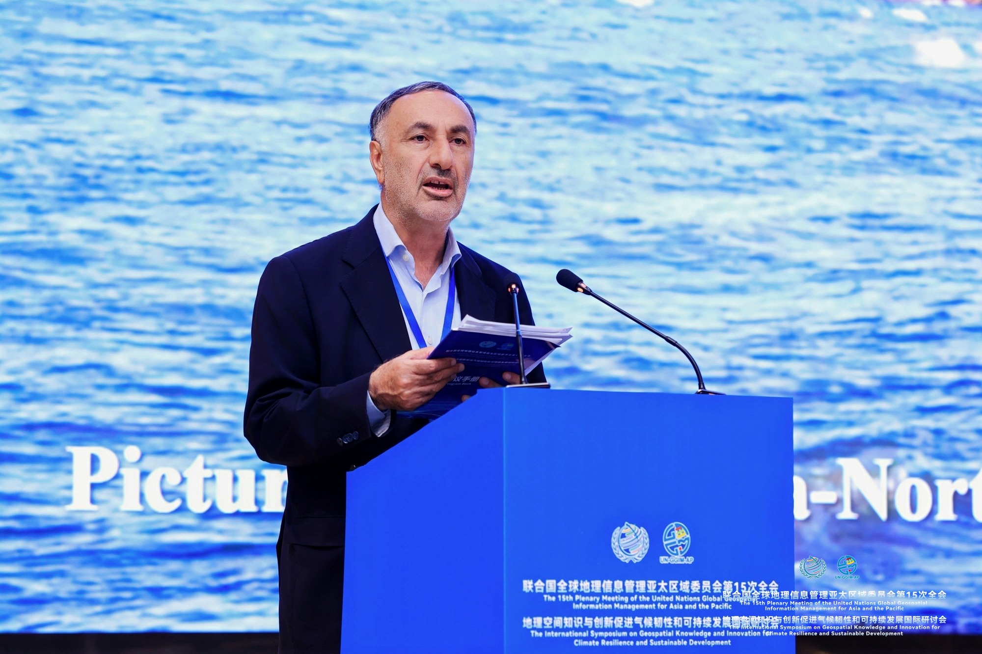
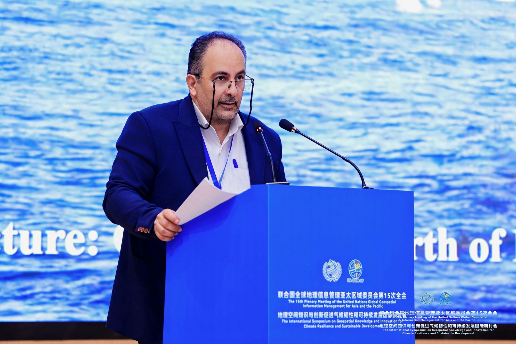
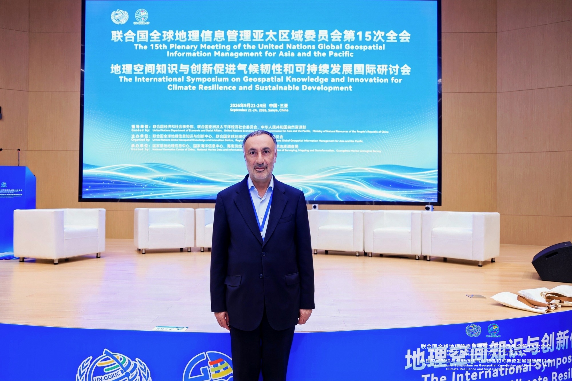
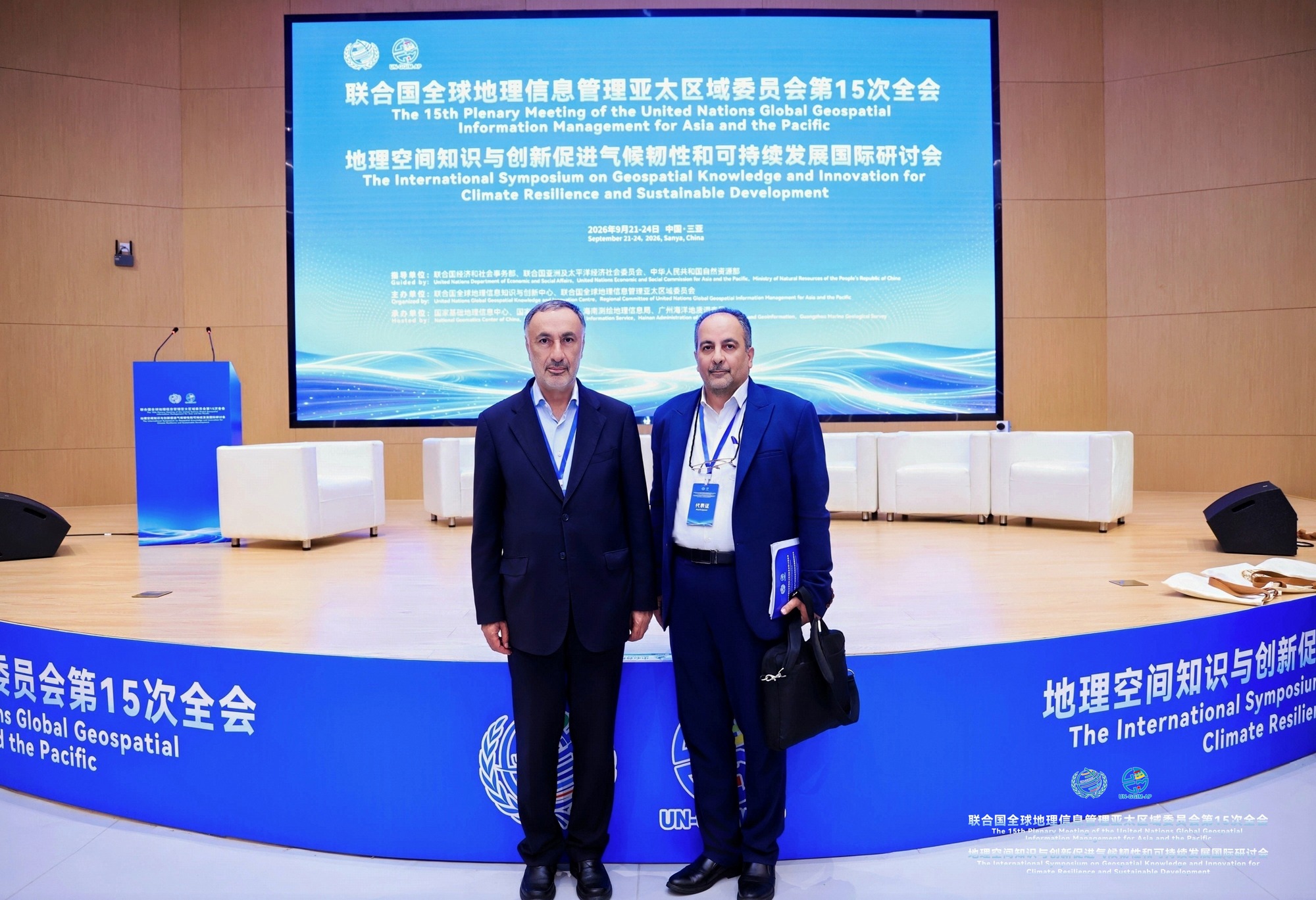
The global symposium is further supported by China's National Geomatics Center (NGCC), the National Marine Data and Information Service (NMDIS), the Hainan Administration of Surveying, Mapping and Geoinformation, the Guangzhou Marine Geological Survey, and other Chinese authorities. Representing the Islamic Republic of Iran at the symposium, Dr. Seidaei, Director General of the National Cartographic Center of Iran (NCC), and Engineer Baktash, Deputy for Technical Affairs and Geospatial Information Production, delivered a presentation titled "The Role of Geospatial Information in Sea-Oriented Sustainable Development." The talk covered the relevant scientific dimensions of the topic and showcased the NCC's activities in hydrography and tidal affairs, and was well received by attendees.
On the third day, the symposium shifts its focus to the use of Geospatial Artificial Intelligence (GeoAI) to strengthen climate resilience and sustainable development — a session currently underway. All meetings and the symposium are being held at the Public Platform for Innovative Technologies in Sanya, one of China's key scientific infrastructure hubs. The complex includes comprehensive laboratory facilities, research and development (R&D) centers, and a "Science Exchange Center." The event addresses integrated spatial governance, innovation, and location-based practical solutions in support of climate resilience and sustainable development, with a focus on AI-driven and land-sea integration.





comment