
Iran’s Supreme Surveying Council with the presence of Dr. Nobakht, Vice-president and the head of Plan and Budget Organization:
Revival of Iran’s Geomatics Industry by Approving Comprehensive Plan
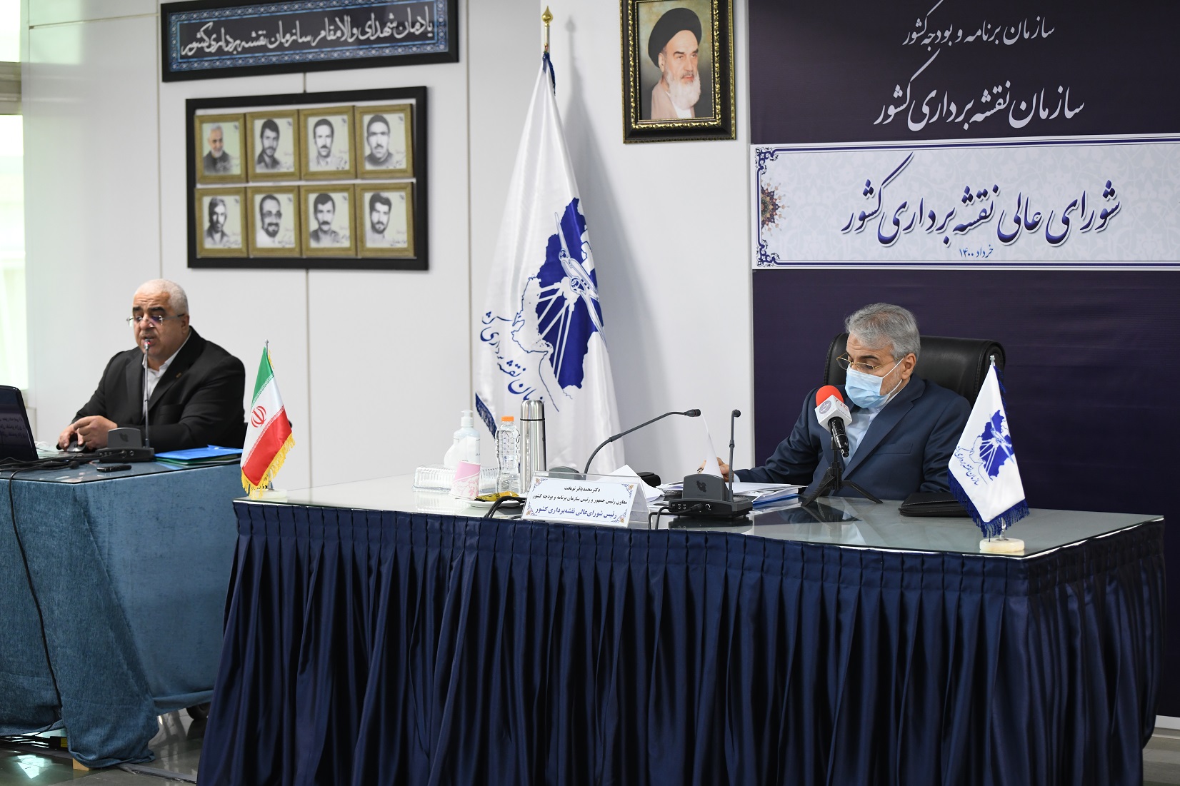
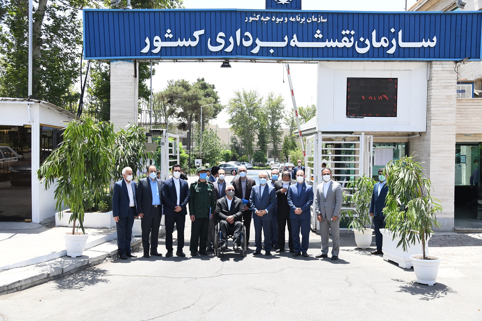
The 121st session of Iran’s Supreme Surveying Council chaired by Dr. Nobakht, Iran’s Vice President and Head of Iran’s Plan and Budget Organization as well as Dr. Jafarzadeh Imanabadi, Director General of National Cartographic Center of Iran as the secretary of the council was successfully held on June 19, 2021.
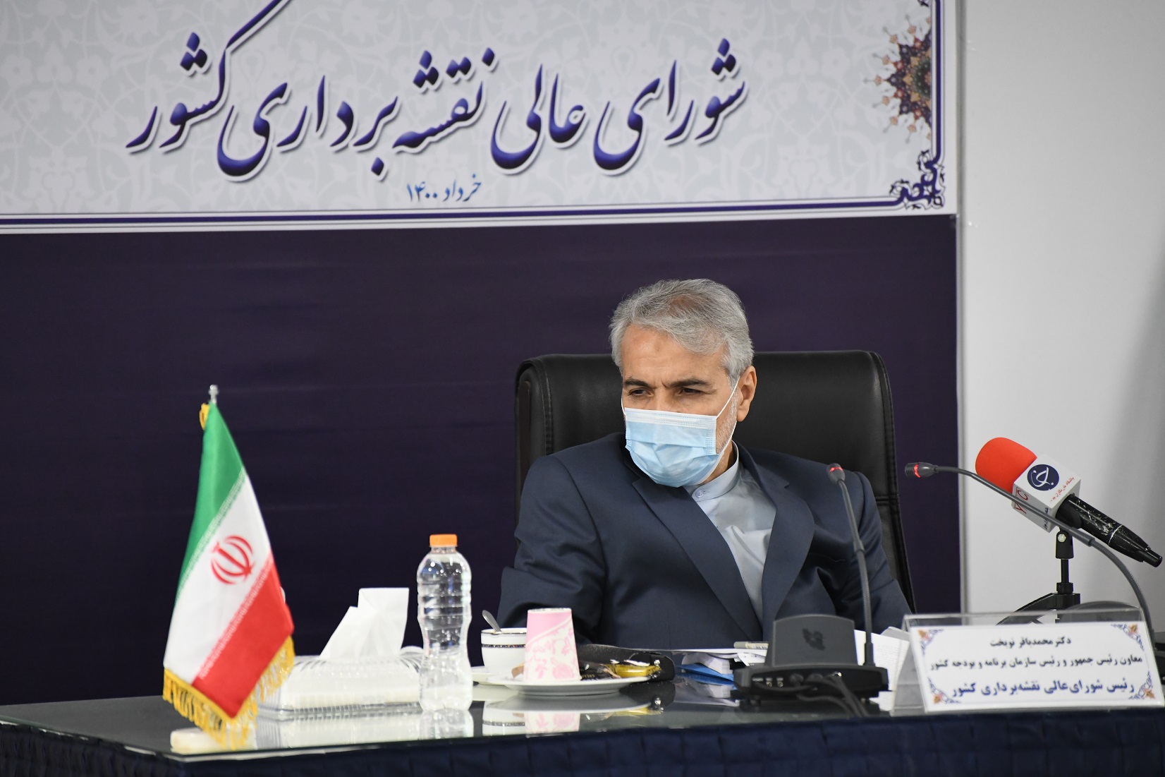
According to the NCC report, the 121st session of Iran’s Supreme Surveying Council was held on June 19, 2021. In this meeting, Dr. Nobakht, Vice President and Head of Plan and Budget Organization, Dr. Jafarzadeh Imanabadi, Director General of National Cartographic Center of Iran, as the secretary of the council as well as the other members of the council participated.
At the beginning of the session, Dr. Jafarzadeh Imanabadi, Director General of National Cartographic Center of Iran and the secretary of Iran’s Supreme Surveying Council, welcomed Dr. Nobakht and the members of the council and then explained the history of Iran’s Supreme Surveying Council: “according to NCC Establishment Law, Director General of National Cartographic Center of Iran is appointed to establish an administrative council consisting of the representatives of ministries and relevant organizations. Subsequently, Iran’s Supreme Surveying Council was formed under the supervision of Iran’s Plan and Budget Organization to establish the country’s Surveying System and supervise its related matters.”
Accordingly, it was decided to estimate the financial credits for “the comprehensive plan for production and revision of large-scale urban and coverage maps” by Iran’s Plan and Budget Organization for a maximum period of four years.
It is worth mentioning that this comprehensive plan includes four sub-plans: “Production of large-scale city maps”; “Updating coverage maps of Iran”; “Keeping and updating spatial data, basic networks and reference coordinate frameworks of Iran” and finally “Preparing large-scale maps of the waters of coastal cities”, which were approved by Iran’s Supreme Surveying Council.
Also, in order to prevent rework, and increase the efficiency of the country's ability, capacity, and facilities, the National Cartographic Center of Iran, the State Property and Deeds Registration Organization, and National Geographical Organization of the Armed Forces of Iran are obliged to take the necessary actions to integrate their real-time positioning network within six months, in accordance with the rules and regulations of the National Reference Framework notified by the Secretariat of the Council.


comment