
Acting Director General of NCC in GIS Day:
Spatial Information Necessary for National Plans Implementation and Macro-Planning
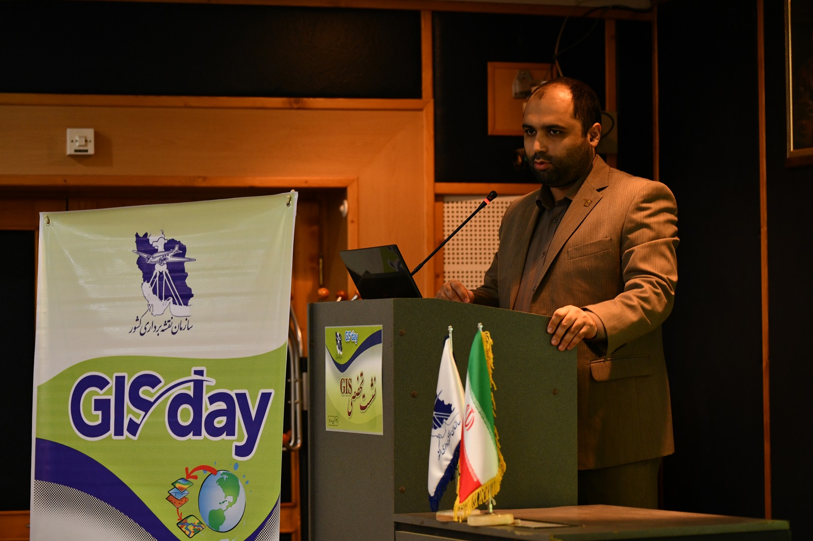
At the GIS Day meeting, Dr. Ali Javidaneh, Acting Director General of NCC, said that Maps and spatial information are necessary for the implementation of national plans and macro-planning of the country
According to the NCC report, an expert GIS meeting was held on November 17, 2021, with the presence of prominent professors in this field, in conjunction with the GIS World Week.
At the beginning of the meeting, Dr. Javidaneh, while congratulating and welcoming the participants, said: “Maps and spatial information are necessary for the implementation of national plans and macro-planning in the country”.
Dr. Javidaneh described the establishment of the National Geoportal in 31 provinces of Iran as one of the most important achievements of the National Cartographic Center of Iran and added: “The capacity of the map and spatial information available in NCC is used in Iran’s macro-planning so that the technical capacity of this organization is very important in the national plan of one million housing in the country.”
It is worth mentioning that after welcoming the participants in the meeting by Dr. Ali Madad, manager of the General Department of GIS and SDI, Dr. Rahim Abbaspour, Vice Chancellor for Research in the Faculty of Surveying and Spatial Information Engineering, University of Tehran, defined GIS in his speech.
Dr. Mohammad Reza Malek, full Profesor and Vice-Chancellor for Education and Graduate Studies at the Geodesy and Geomatics Engineering faculty of K.N. Toosi University of Technology, lectured about Policy-making for spatial information, from a futuristic perspective.
In the continuation of this meeting, Dr. Alireza Gharagozlou, Associate Professor of Shahid Beheshti University, Faculty of Civil, Water and Environmental Engineering, in a technical lecture explained the role of GIS in sustainable development, with a development approach in economics and Dr. Ali Asghar Alesheikh, full Professor in GIS, K.N. Toosi University of Technology, lectured about data infrastructure and health.
It is worth mentioning that Dr. Saeed Vakili, Deputy Minister of Planning, Supervision, and Land Management of the Planning and Budget Organization, mentioned the importance of land management in the country's planning system. In conclusion, Dr. Mohammad Ali Nezam Mahallah, project manager of Jahannama Model Builders, presented the report of the ECO meeting from the Geoportal of the National Cartographic Center of Iran.
It is worth mentioning that the representatives of the Management and Planning Organization of all provinces across the country and other interested people and experts in the field of GIS participated in this seminar, which was held semi-attendance, in the form of a webinar.


comment