
Director General of National Cartographic Center of IRAN, at the opening ceremony of the 26th National Conference and Exhibition
To Build Synergy Among Experts in Mapping and Spatial Data and to Provide its Services to Users, Including Knowledge-Based companies, Universities are of Conferecne Important Goals
Dr. Ali Javidaneh, Director General of National Cartographic Center of IRAN, at the opening ceremony of the 26th National Conference and Exhibition of Surveying and Spatial Information announced that build Synergy Among Experts in Mapping and Spatial Data and to Provide its Services to Users, Including Knowledge-Based companies, Universities are of Conference Important Goals
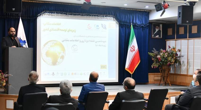
According to NCC News, Ali Javidaneh, the Director General of the organization, welcomed the participants at the opening ceremony of the 26th Conference and Exhibition of Surveying and Spatial Information / Geomatics 1400, as this possibility was provided after a two-year break, he expressed his satisfaction with the 1400 Geomatics Conference and said: "This conference is the most important national event in the field of maps and spatial information and is one of the oldest and most durable conferences ever held in the country and this Continuity has led to a significant response in the last four months, both at the conference scientific articles level and the level of the participants of the exhibition.
One of the main goals of this conference is to create coordination and synergy between different parts of the map and spatial information in the country, whether the government sector that produces spatial information or government departments that are major consumers of spatial information, academia, private sector, and knowledge-based companies. "This year, for the first time, the country's surveying organization held this conference in cooperation with the Scientific Association of Geomatic Surveying Engineering and the exhibition in cooperation with the Iranian Society of Surveying Engineers.
Director-General of NCC expressed hope that by eliminating the coronavirus pandemic, it would be possible to hold the conference in person, as in previous years, and to provide a basis for reunion and exchange of knowledge between specialists in the field of spatial information. He added: "Of course, the virtual holding of this conference led to the possibility for those interested to attend this conference from all over the country in the 1400 geomatics conference and exhibition."
He added: "Maps and spatial information are more important than in the past decade, and today the various executive bodies have no choice but to refer to maps and spatial information to perform their duties, and the emphasis that the government currently has on concepts such as land use planning, cadastre, conscious decision-making, and justice in the land area shows that the importance of spatial information has increased at the national level of the country.
On the other hand, there is a significant capacity in both the private sector and the knowledge-based companies to the extent that it leads the country to export technical engineering services, and NCC intends to implement several International MOUs for 1401."
Javidaneh also added: "Today, NCC is one of the main parties for consultation and decision-making to development of Makran beaches, crisis management and design of monitoring national planning document.
" On the other hand, the increasing capacity of the field of maps and spatial information has caused the specialists in the field of maps and spatial information to have a heavier task than before. In the message sent by Dr. Mirkazemi, Vice President and Head of Plan and Budget Organization for this conference, this issue has been considered, and by this approach, we hope to see the country benefit more from the capacities in the field of spatial map and information."
At the end of his speech, he praised and thanked all the participants, including government agencies, university professors, private companies, knowledge-based companies, and especially the staff of the NCC in various executive departments and the scientific secretariat of the conference.
It should be noted that the 26th National Conference on Surveying Engineering and Spatial Information, which is one of the largest national events in the field of surveying, by the National Cartographic Center of IRAN in collaboration with the Iranian Association of Surveying and Geomatics and the Iranian Society of Surveying Engineers, and with the support of 14 executive and academic bodies, was held in a webinar from 22 to 23 February 2022.


comment