
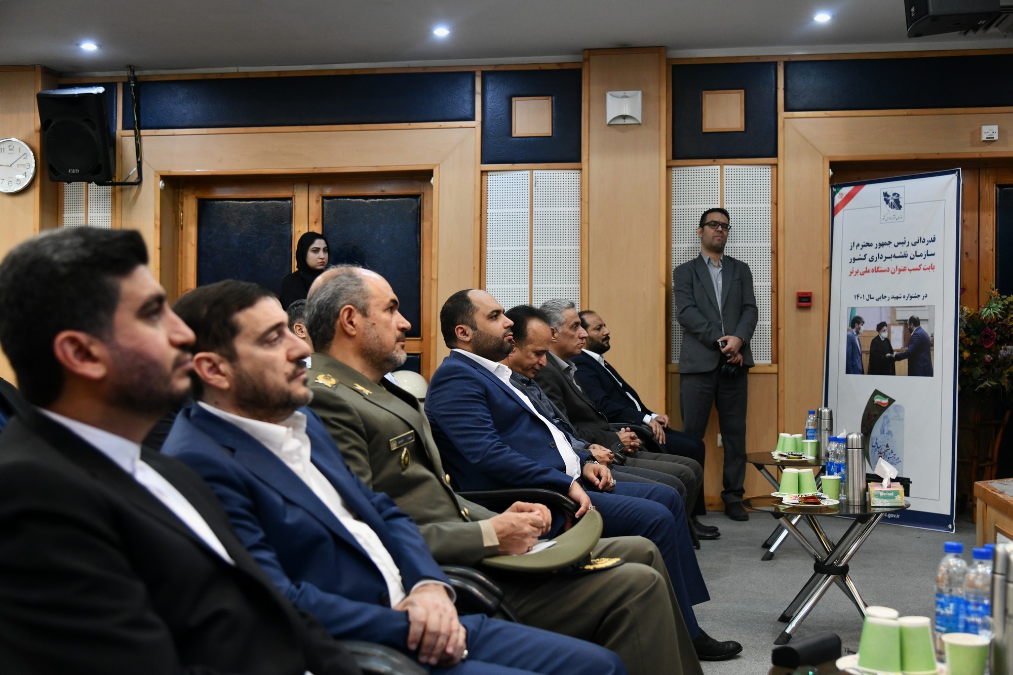
World Hydrography Day Commemoration
According to NCC News, World Hydrography Day commemoration was held with the slogan of hydrography, digital equivalent infrastructure for seas and oceans, with the presence of Ali Akbar Safaee, Deputy Minister of Roads and Urban Development and Head of Ports and Maritime Organization, Brigadier General Dr. Fakhri, the head of Armed Forces Geographical Organization and national and military officials at NCC on Jun 20, 2023.
The Director General of NCC, while emphasizing the importance of spatial data and converting it into useful information for high-level decision-makers, stated that spatial data has a high contribution to the future decision-makers of the country. With the addition of the SDI evaluation index, today many organizations participate in sharing their data framework and more than 293 organizations share about 19 thousand of their data in SDI format. He also said:" Spatial data is crucial for information security, and for this reason, we have good coordination with the Afta Presidential Administration to prepare maps at the scale of 10,000 and 25,000, and 50,000.
Referring to the issue of establishing the spatial data infrastructure (SDI) in the country, Javidaneh stated: There are interpretations in general sea-oriented development policies that cannot be realized without the use of sources that provide data in a unified format, and the lack of such infrastructure causes information to merge between different organizations.
He continued: By providing the Marine Spatial Data Infrastructure (MSDI), serving a limited range of hydrographic users becomes a broader range of marine domain users.
He said: The standards required for hydrographic measures are very necessary for interoperability, which is being managed by the hydrographic committee in order to result in greater cooperation of all the organizations.
Javidaneh stated: Nautical charts have been prepared in cooperation with NCC and the Geographical Organization of the Armed Forces for the purpose of the hydrography of Iran's territorial waters and optimal use of the seas, which all organizations can use according to their needs.
Referring to the sale of hydrographic maps by Iran and generating income in this field, he said: Last year and after a long time, we were able to activate 2 water floating objects, but in order to continue the work, we need infrastructure support due to the high cost of purchase and maintenance their necessary equipment; Although we are currently selling territorial and offshore hydrographic maps, which earns a lot of income for our country, we must develop it.
Ali Akbar Safaee, the head of the Ports and Maritime Organization, said: The World Hydrographic Organization has made a lot of efforts in recent years, and fortunately, the Islamic Republic of Iran is one of the active countries in the field of hydrography in the world. the hydrographic committee was established with the approval of the Supreme National Security Council, and NCC and the Geographic Organization of the Armed Forces have had many successes in this field.
He added: “Unfortunately, NCC and the Geographical Organization of the Armed Forces are not members of the country's maritime organizations and institutions, and the necessary measures should be taken for their membership.” Safaee added: Hydrography is one of the facilities of maritime traffic that we must have updated information on so that ships can travel without any problems on the coasts of Iran and the ports of our country.
He noted: 106 cells and electronic marine maps have been prepared by NCC and 290 maps have been updated. He said: The sale of hydrographic maps by NCC is sold with great success in the world, but due to the cruel sanctions, it is either not possible to receive the money or we hardly receive it.
Brigadier General Dr. Fakhri, while giving a speech at this ceremony, also raised the need for more and more up-to-date equipment for water data collection and pointed out that if the current process is not improved and completed, it will lead to a delay in data collection in the future and staying behind the other countries.
In this ceremony, the application for predicting tides and displaying sea level data (NCC Tide) was also unveiled.


comment