
The Department of Hydrography and Tidal Affairs of NCC announces:
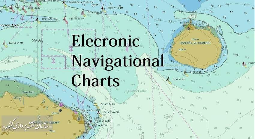
85000 NCC Electronic Navigational Charts Sale in 2020
Sales of 85,000 electronic navigational charts in 2020 have brought nearly half a million dollars income for Iran. International publication of nautical charts has started in 201۱5, and so far 62 navigational charts are published by the National Cartographic Center of Iran after international control and approval through the international authority under the supervision of the International Hydrographic Organization (IHO).
According to NCC report, Atieh Mojtahedi, Deputy of Hydrography and Tidal Affairs Department of NCC, announced the international sales amount of navigational charts in 2020, “International publication of nautical charts has started since 2015, and so far 62 navigational charts are published by National Cartographic Center of Iran after international control and approval through the international authority under the supervision of International Hydrographic Organization (IHO), eight of which are published in 2020”.
While referring to the sale of 85,000 electronic navigational charts in 2020, she said: “The sale of these charts in 2020 has brought nearly half a million dollars income for the country ”. The amount of monthly sales is observable in the following chart:
While referring to the sale of 85,000 electronic navigational charts in 2020, she said: “The sale of these charts in 2020 has brought nearly half a million dollars income for the country ”. The amount of monthly sales is observable in the following chart:

While mentioning the importance of publishing nautical charts at the international level, Mojtahedi pointed to the replacement of foreign charts with domestic charts and the removal of foreign charts for inland waters, which shows the national power in performing specialized hydrographic affairs and preparing nautical charts, and ascertains the country's sovereignty over its surrounding waters at the global level.
Referring to the importance of rapid updating of nautical charts, the Deputy of Hydrography and Tidal Affairs Department of NCC added: “In 2020, 64 electronic nautical charts were updated, of which 8 charts were related to northern ports and 56 charts were related to southern ports. The published charts include 45 charts from Persian Gulf waters, 3 charts from the Oman Sea, and 14 charts from the Caspian Sea. With the publication of domestic charters, the old charts prepared by foreign countries (Britain and Russia) were removed and due to the up-to-dateness of the Islamic Republic of Iran charts, maritime safety has increased in inland waters under the sovereignty of the country”.
She mentioned that The Department of Hydrography and Tidal Affairs of NCC is responsible for hydrographic operations and preparation of nautical charts from the southern and northern waters of Iran and explained that: “The result of these operations is the production of 165 nautical charts from the Persian Gulf, 11 charts from the Oman Sea and 57 charts from the Caspian Sea in different scales and user bands; and added that: “hydrographic information from inland waters, which is collected by hydrographic equipment and using the vessels of NCC, will lead to the production of nautical charts after final processing and implementation of coastal features. Vessels are required to use up-to-date charts in order to maintain maritime safety and under international law and therefore, the users who buy these nautical charts would receive up-to-date information free of charge for one year”.
Mojtahedi added: “National Hydrographic Committee coordinates to prioritize and publish nautical charts, and maritime navigational charts will be published through the priorities of this committee. Maritime navigational charts must be prepared and updated in accordance with the latest standards of the International Hydrographic Organization (IHO) in order to be published internationally. The charts are controlled by the approved authorities of IHO, ensuring their accuracy, before being published”.


comment