
Active Participation of the Islamic Republic of Iran in the 5th BRICS Working Group Meeting on Geospatial Technologies
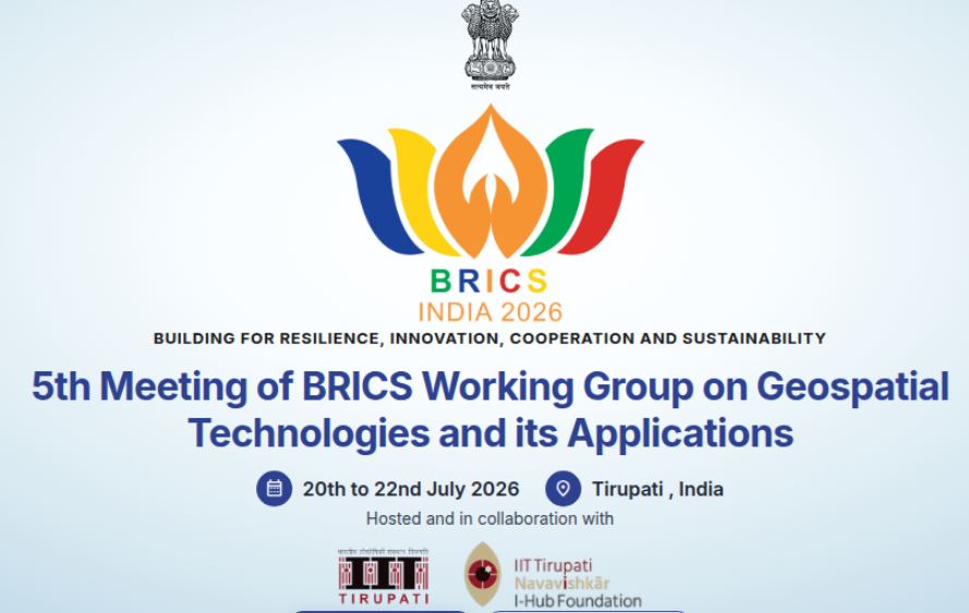
The 5th Meeting of the BRICS Working Group on Geospatial Technologies and Their Application was held from July 20 to 22, 2026, in Tirupati, India
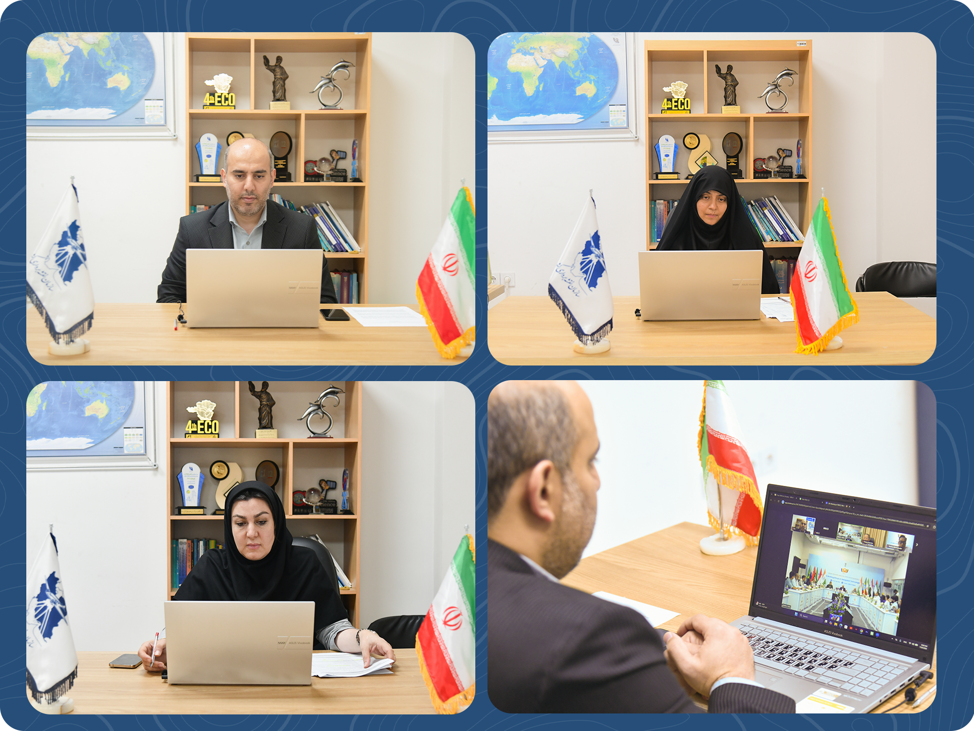
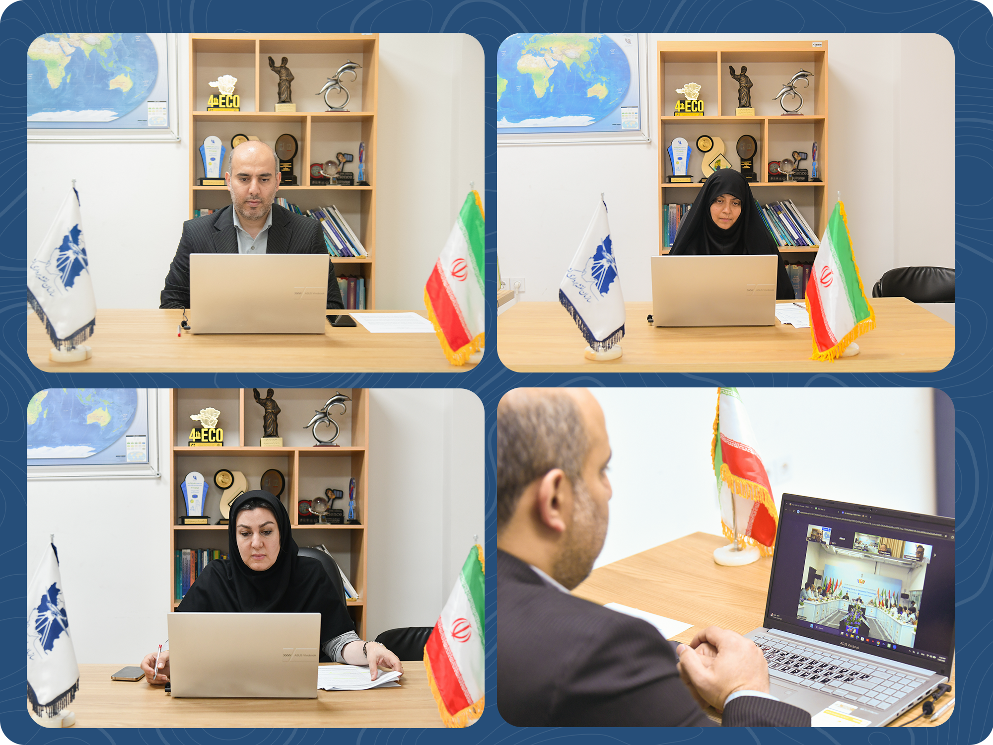
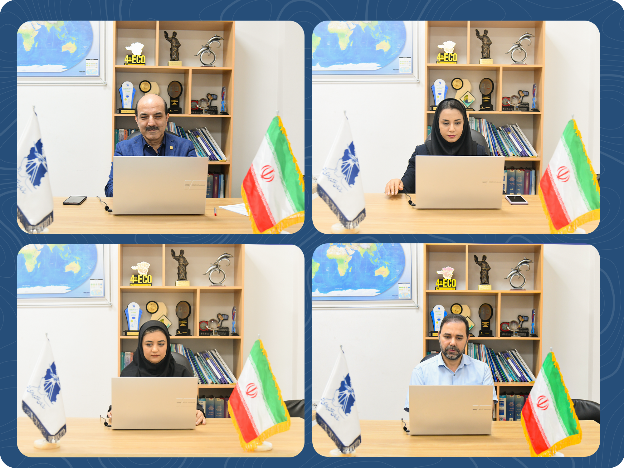
According to the Public Relations Department of the National Cartographic Center of Iran, quoting the International Cooperation and Engineering Services Directorate, the fifth meeting of the BRICS Working Group on Geospatial Technologies was held with the theme "Advancing Foundational Geospatial Infrastructure for BRICS Cooperation," providing a platform for scientific and technological synergy among member countries. The National Cartographic Center of Iran, representing the Islamic Republic of Iran, which had successfully hosted and organized the fourth meeting of this Working Group in Tehran, participated virtually in this event despite time constraints and specific procedural circumstances, and played an active and constructive role throughout the sessions.
Designed under the theme "Advancing Foundational Geospatial Infrastructure for BRICS Cooperation," the meeting provided a platform for scientific and technological synergy among members. The National Cartographic Center of Iran, representing the Islamic Republic of Iran, which had successfully hosted and organized the fourth meeting of this Working Group in Tehran, participated virtually in this event despite time constraints and specific procedural circumstances, playing an active and constructive role throughout the sessions.
On the first day, the opening ceremony began with addresses by Indian officials and welcoming remarks from the heads of delegations. In this segment, Ramin Papí, Director General of the Office of the Presidency, Public Relations and International Affairs at the National Cartographic Center of Iran and the Focal Point of the Islamic Republic of Iran in this Working Group, expressed gratitude to India for its excellent hospitality, reaffirmed Iran's commitment to multilateral cooperation in the field of geospatial technologies, and highlighted the successful experience of hosting the Tehran meeting while declaring Iran's readiness to continue scientific and technological cooperation with BRICS members. Also on this day, the report on the fourth meeting, which had been organized and managed by the National Cartographic Center of Iran in Tehran, was presented by Iran's representative, and the achievements of that meeting, including the finalization of the Terms of Reference and the development of the 2025 Plan of Activities, were elaborated for the participants. In subsequent sessions, representatives from the Department of Terrestrial and Fundamental Surveying of the organization actively participated in technical discussions on geodetic and positioning infrastructure, standards, and data harmonization, presenting Iran's perspectives and emphasizing the need for enhanced cooperation in disaster monitoring, water resource management, and precision agriculture.
On the second day, representatives from the Geospatial Information Systems and Infrastructure Department actively participated in sessions on the framework for geospatial data infrastructure, capacity building and education, as well as emerging technologies including artificial intelligence and digital twins. They put forward proposals for establishing an educational network among member countries and developing joint research projects, taking effective steps toward achieving the Working Group's objectives. Although physical presence was not possible for the Iranian delegation, the effective engagement and continuous follow-up demonstrated the Islamic Republic of Iran's serious commitment to playing an active role in this specialized Working Group. At the end of the second day, a closed session of the Working Group was held with representatives from all countries. It was agreed that final documents, including the Tirupati Recommendations and the Cooperation Framework on Geodesy and Positioning, would be finalized with the collaboration of all members. The Islamic Republic of Iran emphasized the importance of continuing these collaborations and declared its full and active participation in the implementation of the approved projects and resolutions, expressing hope that in future meetings it would be able to participate in person to play an even more effective role in advancing the objectives of the Working Group. It is worth noting that Iran's presentations on the first day during the opening session and the report on the fourth meeting, and on the second day during the discussion on the data infrastructure framework and the presentation of cooperation proposals, were among the highlights of our country's participation in this meeting.





comment