
At the Closing Ceremony of the Fifth International Conference on Persian Gulf Oceanography, Dr. Javidaneh announces:
Country Development Programs Require More Attention to Seas and Coasts / Conservation and Sustainable Use of Resources Requires Full knowledge
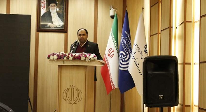
Dr. Javidaneh, the Acting Director General of the National Cartographic Center of IRAN, at the closing ceremony of the 5th International Persian Gulf Oceanography Conference said: "The country's development plans require more attention to the country's seas and coasts/ T Conservation and Sustainable Use of Resources requires a full understanding of it"
According to NCC News, Dr. Javidaneh, the Acting Director General of the National Cartographic Center of IRAN, at the closing ceremony of the 5th International Persian Gulf Oceanography Conference noting the importance of knowing the seas and oceans, said: "Access to seas and open waters is a gift that is not available to all countries in the world, therefore, it must be well protected and used sustainably. 40% of the world's people live 100 km from the coast. 80% of world trade is done by sea.Countries that have access to the seas, on average, have 6 percent higher economic growth than landlocked countries.
In another part of his speech, he expressed the orders of the Supreme Leader of the Islamic Revolution on the importance of the seas and coasts, saying: "The sea is a great opportunity for a country to develop and preserve national interests. The benefits of the sea are strategic benefits for a country and a nation; "The benefits are significant. This huge and long, very sensitive beach that we have in the Oman Sea is in fact a treasure, the shores of the Oman Sea and presence in the Oman Sea is a treasure, a reserve."
Dr. Javidaneh added: "Regarding the knowledge of the seas and oceans, first of all, it is necessary to know the geometry and the physical and chemical characteristics of the seas, aquatics and the factors affecting them, which must be properly measured and monitored. It is good to know that less than 15% of the oceans has been properly mapped so far, while human knowledge of the moon and Mars is far greater!!!
He added NCC as a reference for mapping and spatial information , has been conducting land surveying, hydrography and preparing sea charts of the country's waters since the 1960s that have been published internationally and have replaced foreign maps.
Also, continuous monitoring and modeling of sea level is one activity of the NCC, which is of great importance in the development of coastal industries and ensuring maritime safety.because of over three decades of marine maps production and also the long history of creating and developing the country's spatial information infrastructure (SDI), today the creation of marine spatial data infrastructure (MSDI) is felt as a need and It is considered as a part of the country's spatial data infrastructure by the NCC , and it is hoped that it will be realized soon and completely with the cooperation of other maritime bodies of the country."
Further he added: "NCC, as the chairman of the Committee for Standardization of Geographical Names of Iran, along with 13 organizations and ministries handles standardization and publication of geographical names at the national and international levels.This The committee was formed with the approval of the government board in 2000 and one of its achievements is the creation of a national database of geographical names of Iran, which Provides users with correct and approved spelling, transliteration (pronunciation) and English translation of all geographical names of the country via the web. "The organization takes care and uses the name of the Persian Gulf in all its products, including national and thematic maps and atlases, nautical charts, as well as location-based databases."
At the end, he thanked the Meteorological Organization and the Meteorological and Atmospheric Sciences Research Institute for holding this significant event; he expressed a hope that the achievements of this conference have led to the growth of the country in marine and he also invited all interested parties to take part in the 26th National Conference on Surveying Engineering and Spatial Information (Geomatics 1400) on the third and fourth of March.
It is worth mentioning that this conference was held for two days in Tehran with the presence of representatives from Belarus, Finland, the Republic of Azerbaijan, Iraq, Ukraine, Pakistan and Russia and officials and authorities related to the operation and development of the sea and the port.
After judging the articles, about thirty top articles were reviewed as conferences in specialized panels in these two days and about 60 articles were presented as posters.
Marine resources utilization, ecotourism and maritime tourism, maritime rights, maritime trade, maritime security and offshore development were among the topics discussed at the two-day international conference.


comment