In the twelfth Plenary Meeting of UN-GGIM-AP in Indonesia:
Director General of NCC Gives a Speech at the Plenary Meeting of UN-GGIM-AP in Indonesia
According to NCC News, quoted from the International Cooperation and Engineering Services Export Office of NCC, after officially inviting the director general of NCC to attend the twelfth Plenary Meeting of the Regional Committee of United Nations Global Geospatial Information Management for Asia and the Pacific (UN-GGIM-AP) in Indonesia, Ali Javidaneh attended this international meeting on behalf of the Islamic Republic of Iran.
This international meeting started from November 6 in Bali, Indonesia and continues until November 10. High-ranking representatives of the countries of the Asia and Pacific region in the field of map and spatial information participate in the meeting.
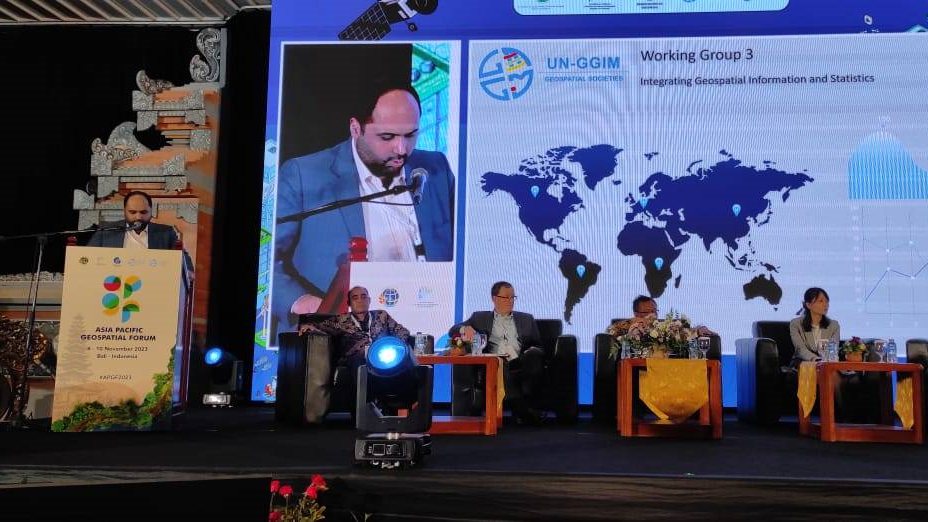
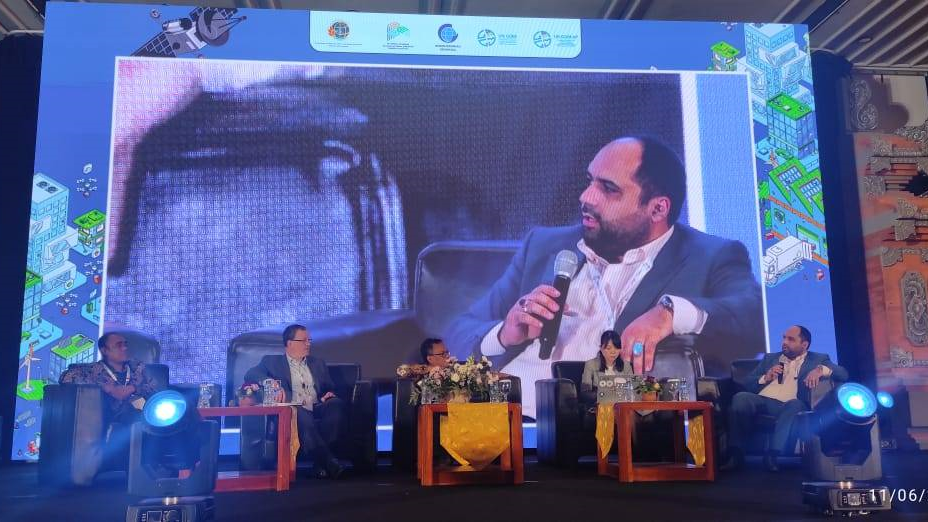
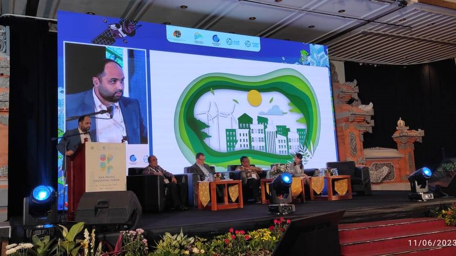
On the first day of this international meeting, Ali Javidaneh, Deputy Director of Plan and Budget Organization of Iran, as one of the main speakers of this meeting, gave a speech on “Application of Spatial and Statistical Information to Create a Sustainable City”.
In his first speech, the Director General of NCC, referring to the strong role of spatial information and its integration with statistical information in the development of sustainable cities, said: “By being a member of the Economic Cooperation Organization (ECO) and also the Asian and Pacific Centre for the Development of Disaster Information Management (APDIM), the National Cartographic Center of Iran has played a prominent role in the expansion of international communications centered on geospatial information.”
Referring to the activities of National Cartographic Center of Iran in implementation of Iran's national geoportal and emphasizing the role of Spatial Data Infrastructure (SDI) as well as the dynamic atlases created by NCC, he said: “Iran's national geoportal, which is designed and implemented by the experts of NCC, has 21,000 layers of spatial information. More than 300 executive bodies from all over the country are linked to it, which has provided many capabilities for sustainable cities.”
He further emphasized: "Since more than 80% of information has a spatial nature, land subsidence is monitored using different Surveying methods and the information layers are uploaded to the crisis management geoportal. One of the applications of this issue in sustainable development is to prevent the construction of residential units in areas at risk of subsidence.”
At the end of his presentation, which was well-received by the participants, Javidaneh listed four important stages of applying spatial and statistical information in sustainable development as identification, planning, decision-making support and evaluation stages.
It is worth mentioning that the director general of NCC, as the only representative of the Islamic Republic of Iran, is a member of the executive board of the Regional Committee of United Nations Global Geospatial Information Management for Asia and the Pacific (UN-GGIM-AP). Javidaneh is also the chair of Working Group 3 of UN-GGIM-AP on Integrating Geospatial Information and Statistics and he is going to give a report on the annual performance of this working group in the coming days.