
e-Government
Energy Ministry Ready to Conclude MOU with NCC
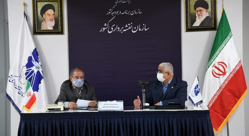
According to the Technical Services Department of NCC, the Ministry of Energy is ready to cooperate and conclude a Memorandum of Understanding (MOU) with NCC
According to NCC’s report and quotes from General Department of GIS and SDI, with the continuous pursuits and efforts of experts of this general department, another golden leaf was registered in the record of their general department and the provincial geoportals were established in 27 provinces of the country.
Earlier, the General Department of GIS and SDI, with the participation of all provinces in the National Geoportal in March 2016, achieved significant success. Following this proud national evolution, so far the Plan and Budget Organization of all 31 provinces of the country and a total of 98 provincial bodies, have participated in providing spatial service in the national spatial data infrastructure and registered their service catalogs in the national geoportal (iransdi.gov.ir).
And now, less than three months later, with the continuous efforts and pursuits of the representatives of the provinces in the General Department of GIS and SDI, the provincial geoportals of 27 provinces of the country were launched. At present, all 31 provinces have provincial geoportals.
The use of spatial data infrastructure is to facilitate access to updated, precise and accurate spatial data both for the user and the manufacturer.
The scope of this function is wider in provincial geoportals, so that provincial bodies can use this platform in the government network and can share their spatial information in this system without the need for the global Internet.
This is a suitable platform for high-level management decisions, using data sharing of provincial bodies, to achieve major goals such as moving towards e-government. It can then meet the needs of society in a safe environment in cases such as crisis management.


comment