
International Relations of National Cartographic Center of the Islamic Republic of Iran announces:
First Joint Working Group Between National Cartographic Center of IRAN and the State Committee for Land Management and Geodesy of Tajikistan
With the continuous follow-up of the International Relations Office of NCC and with the cooperation of the Ministry of Foreign Affairs of the Islamic Republic of Iran, NCC managed to hold the first joint working group meeting with the State Committee of Land Management and Geodesy of Tajikistan
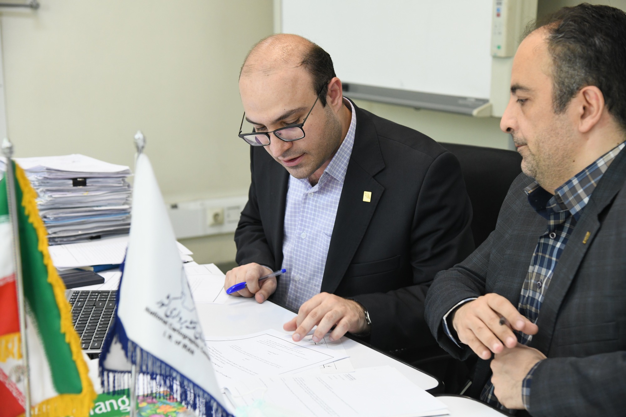
According to the NCC, at this meeting, which was virtually held to discuss the issue of a memorandum of understanding (MOU) between the two organizations, Eng. Hamed Moradian, the head of the International Relations Office of NCC, thanked the Tajik delegation for holding the joint meeting between the two countries. He considered the first step in the rapprochement of the two organizations to reach common points of cooperation necessary and stressed that these meetings should continue with more vigor until a memorandum of understanding is reached.
Following the meeting, Engineer Peyman Baktash, Technical and Spatial Information Production Deputy of NCC, while offering a message from the esteemed director general of NCC to the Tajik delegation, discussed the provisions of the memorandum. Stating that the initial version of the MoU was prepared in previous years but did not materialize, he urged the Tajik delegation to articulate its organization's needs in the field of mapping and spatial information so that it could reach common ground. In the clay memorandum
At the end of the two weeks, the technical deputy of the organization requested a review of the two countries' positions in the field of spatial information in coordination with the Ministry of Foreign Affairs of the two countries and through the embassies of Iran and Tajikistan.
It is worth mentioning that the next meeting of the joint working group will be held in July 1400.


comment