
Department of GIS and SDI announces:
First Online Meeting Focusing on SDI Development and Application
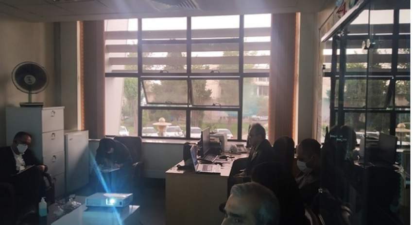
The first technical meeting focusing on the development and utilization of SDI was held in the Department of GIS and SDI with the presence of Dr. Madad, general manager of the Department of GIS and SDI, Professor Rajabifard from the Melbourne University, Professor Al-Sheikh from Khajeh Nasir al-din Tusi University, and a group of experts from the General Department of GIS and SDI
Expressing the growing procedure of SDI and the formation and establishment of national SDI in the country, Dr. Madad emphasized the need for SDI optimization as an executive arm of the government body and as the mission and responsibility of the National Cartographic Center in this regard.
Then Dr. Rajabifard gave a full explanation about the development process of the country towards digital Iran. Referring to the need to create a suitable environment for the presence of the private sector alongside the government and the university, he emphasized to resolve challenges and gaps between projects and organizations and preventing any task duplication.
Dr. Rajabifard also pointed to the leading role of the NCC to manage the affairs properly and the cultural role of NCC in the attitude to data and access levels and issues related to data security and protection as the duties of the NCC.
He raised the issue of implementing the pilot project with the cooperation of the private sector and government and university agencies in the national geoportal platform with the participation of other national projects (GNAF, three-dimensional cadastre, etc.).
Professor Al-e-Sheikh called for interactions between NCC and other custodians of the country’s national systems and emphasized the need to propose targeted projects with optimal time management.


comment