
Department of Geodesy and Land Surveying of NCC announces:
Gravitational Acceleration Measurement of Damavand Peak Permanent Points
National Cartographic Center of Iran starts to measure the gravitational acceleration of permanent points around Damavand peak
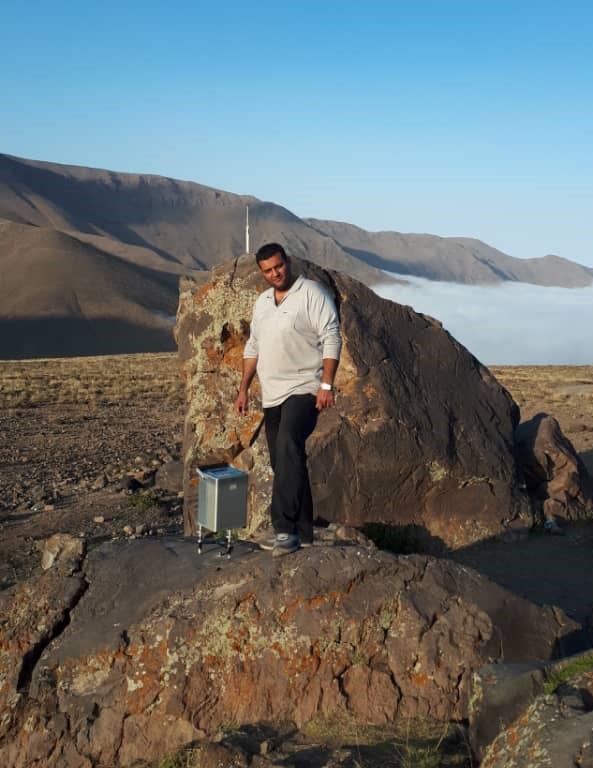
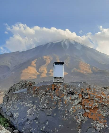
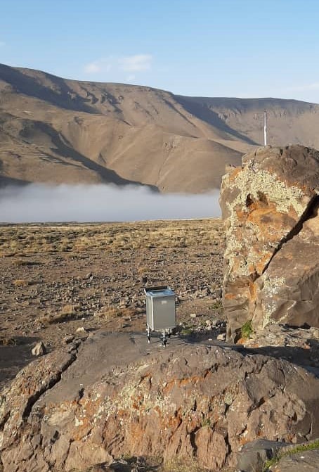
According to the Department of Geodesy and Land Surveying of NCC, the National Cartographic Center of Iran, as the custodian of the maintenance, development, and upgrading of Iran’s gravimetric networks, is equipped with Relative gravimeters. Due to the relationship between the gravitational acceleration and the density of different subsurface masses, it is possible to understand the changes in the density of the subsurface by measuring the gravitational acceleration periodically (along with GPS measurements). Another duty of NCC is the task of collecting and integrating data and information related to the earth’s crust changes and using them in determining the rate of planimetric and altimetric displacement. For this purpose, monitoring and supervision of the subsurface physical changes and geometric changes of the crust around Damavand Peak, has been one of the tasks of NCC since 2012.
Damavand cone in the center of Alborz mountain range is the most obvious volcanic activity of the Quaternary period that is considered by geologists as one of the tectonic regions of Iran. Mount Damavand in northern Iran is recognized as the tallest summit of the Alborz Mountain range with an altitude of 5671 meters above sea level, as well as the tallest volcano in the Middle East. This mountain is located in the central part of Alborz mountain range in the south of the Caspian Sea and in Larijan section of Amol city. With the exception of some small eruptions recently discovered, no new activity is known from this volcano; hence it is called a semi-active volcano. Since Damavand Peak is one of the semi-active volcanoes and about a quarter of Iran’s population lives within a radius of 100 km around it, continuous monitoring of its activities has been of great importance.
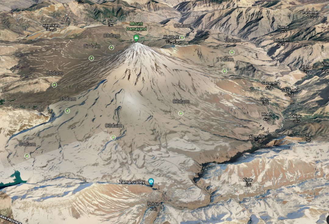
In 2012, the National Cartographic Center of Iran designed and created a Permanent GPS Network, including 10 points around Damavand Peak, in order to conduct geodynamic and physical studies of the region. Previously, four epochs of measurement were collected for the gravitational acceleration of the points of this network using Scintrex relative gravimeter in 2012, 2013, 2015, and 2017. Currently, the fifth epoch of measurement is being done by the experts of the Department of Geodesy and Land Surveying of NCC. GPS measurements were also performed for the mentioned points during these time periods.
By examining the changes in the gravitational acceleration and the coordinates of the relevant points, it is possible to provide an estimate of the situation and crustal changes of the region, which is the main need of those in charge of crisis management in Iran.


comment