• Jul 25 2022 - 11:35
  • - number of visits: 293
  • - Number of visitors: 284
  • Study time: 2 minute(s)
National cartographic center of Iran in cooperation with the Secretariat of the Economic Cooperation Organization (ECO) held:

International Specialized Training Course for ECO Member States for 3 Intensive Days

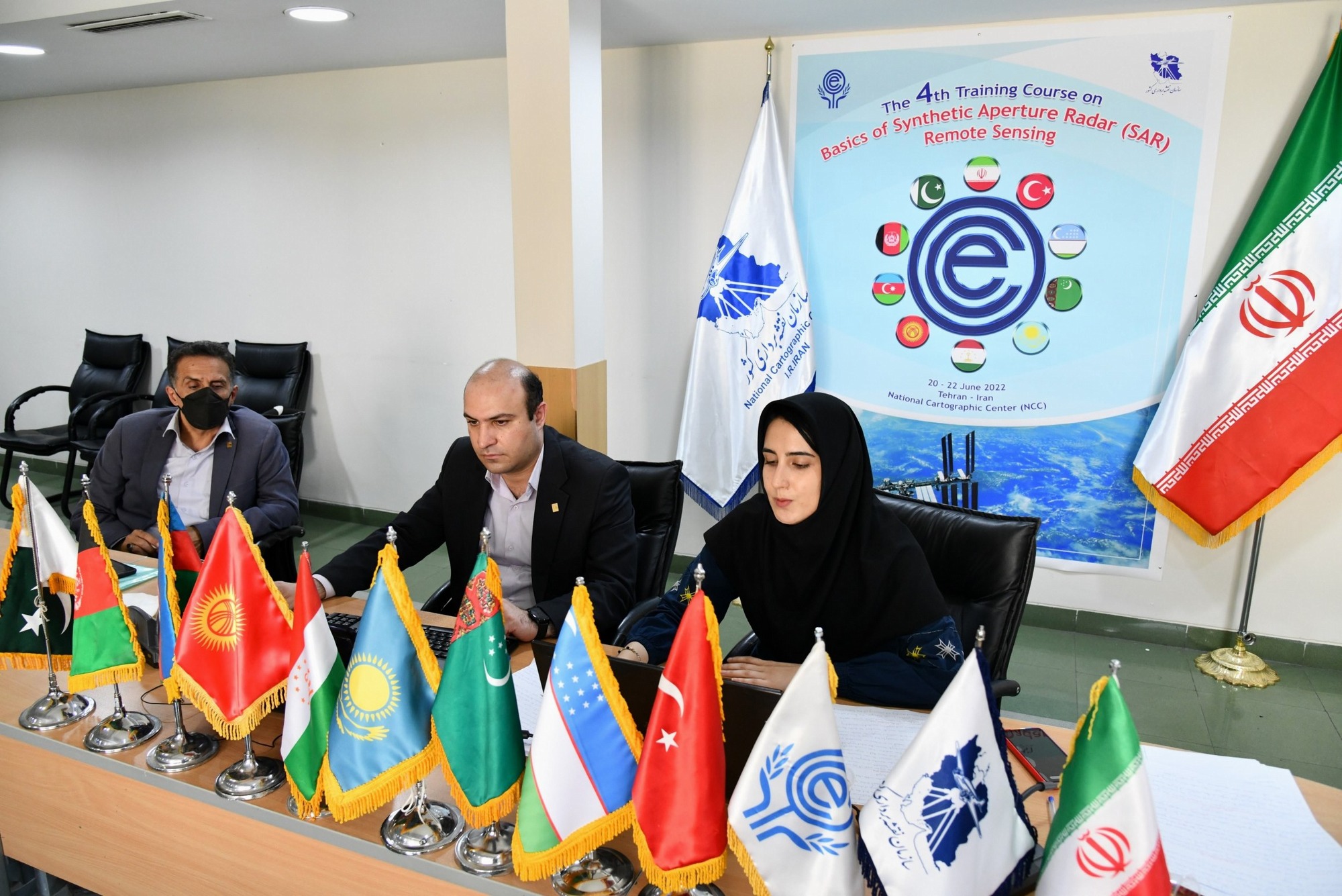
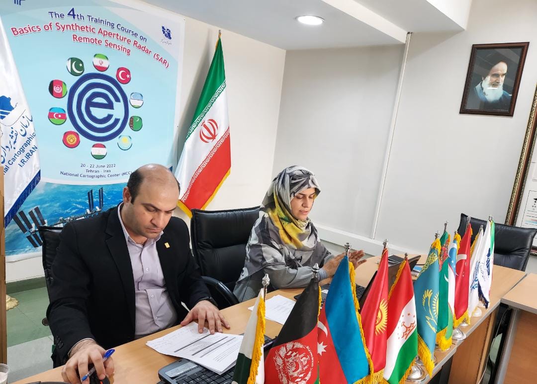
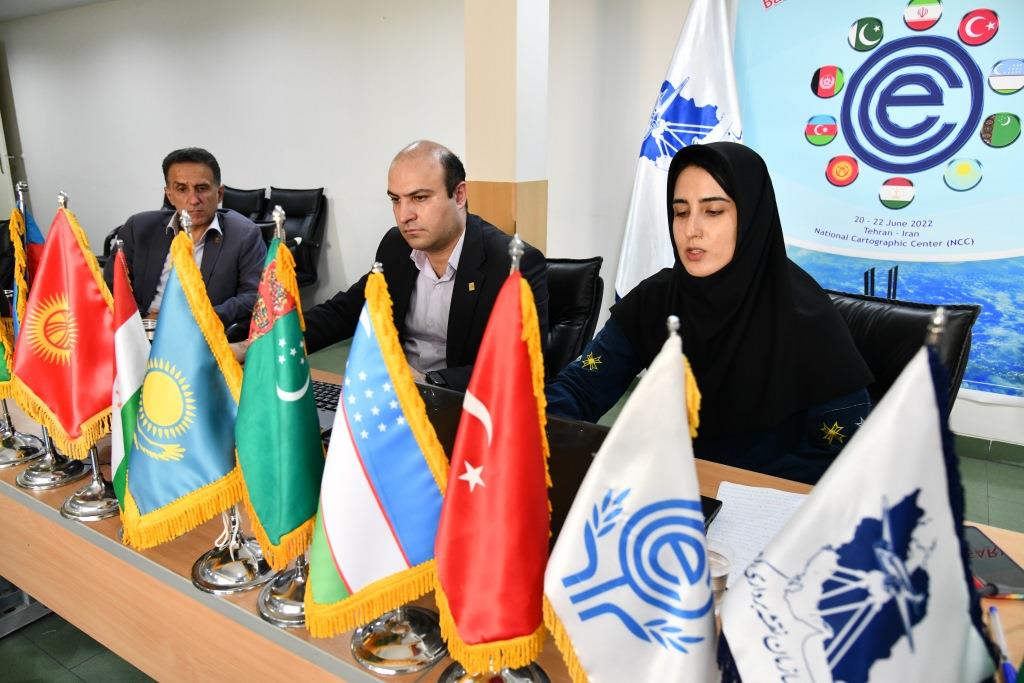
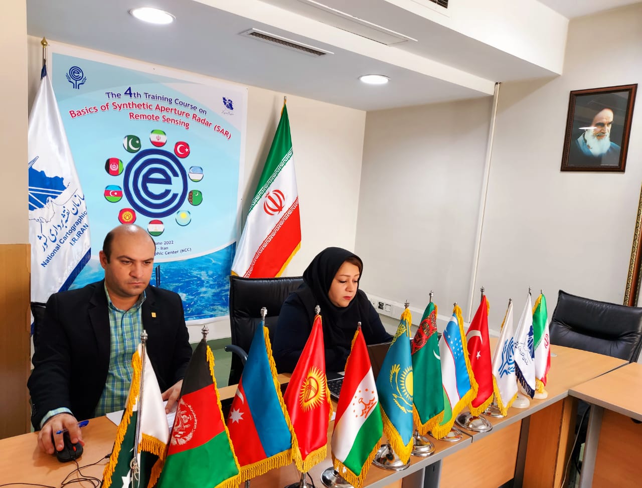
International specialized training course for ECO member states on “Basics of Synthetic Aperture Radar(SAR), Remote Sensing” was held for three days, in the form of a webinar in English by the International Relations Office of NCC and ECO secretariat in cooperation with the General Department of Aerial and Spatial Surveying of NCC.

According to NCC report, quoted from the international relations office of NCC, the fourth international specialized training course on “Basics of Synthetic Aperture Radar(SAR), Remote Sensing” was held as a webinar in English with the participation of ECO member states on 20-22 June 2022 by the International Relations Office of NCC and ECO secretariat in cooperation with the General Department of Aerial and Spatial Surveying of NCC.

In recent years, with significant progress in satellite observation, remotely sensed data has been broadly employed in many applications, such as land cover/land use mapping, natural or human-made disaster management, monitoring of forestland and agricultural land, soil mapping and degradation, water resources, coastal studies, oceanography, climatology, urban studies, and so on.
 
This Virtual Capacity Building Workshop with the aim of capacity building for member states, was organized by the National Cartographic Center of the Islamic Republic of Iran with the support of the Economic Cooperation Organization (ECO). The program was designed to raise and improve awareness, knowledge, and understanding of the SAR, to introduce and inform participants of its use and applications.
 
It should be noted that on the first day of this training course, Introduction of various remote sensing applications, Electromagnetic radiation basics, Types of remote sensing sensors, Advantages of microwave over optical systems, Active and passive microwave remote sensing and on the second session other important topics including Sensitivity of return signal to sensor and target parameters, Radar geometry, Geometric distortions, Range/azimuth resolutions and introducing synthetic aperture radar (SAR) imaging technique were presented by Dr. Mehrnoush Omati.

On the second day, during two sessions, “Interferometric Synthetic Aperture Radar (InSAR) technique, the concepts, and functions” and “An automatic monitoring system for sinkhole study and prediction based on the radar images (Case study: Tehran)” were explained by Dr. Tayebeh Managhebi.

On the third and last day of this training course, Introduction of environmental parameters affecting infectious diseases, Introduction to the capability of remote sensing data in estimating environmental parameters, Monitoring climate change and its impact on public health, Time series analysis of remote sensing data in temporal and spatial predictions of diseases and the Utilization of early warning systems in public health management were presented by Dr. Fahimeh Youssefi.


Eng. Hamed Moradian, Head of the International Office of NCC, while thanking the ECO Secretariat and the participating countries, as the chair of the sessions of this training course, introduced the teaching professors and the topics for these 3 days. He also presented a summary report of the course to the Secretariat by collecting the submitted comments and ideas.


  • Newsgroup : گروه های محتوا,News
  • News code : 88
Maryam Sadeghi
Reporter

Maryam Sadeghi

Pictures

Comments

0 There are comments for this article

comment


Last Update date : Jul 25 2022 11:35
تنظیمات قالب