
Iran Hosts BRICS Geospatial Information Working Group Meeting
According to a report from the International Cooperation and Engineering Services Export Department of the National Cartographic Center of Iran, the Islamic Republic of Iran hosted a two-day specialized meeting of the BRICS Geospatial Information Working Group.
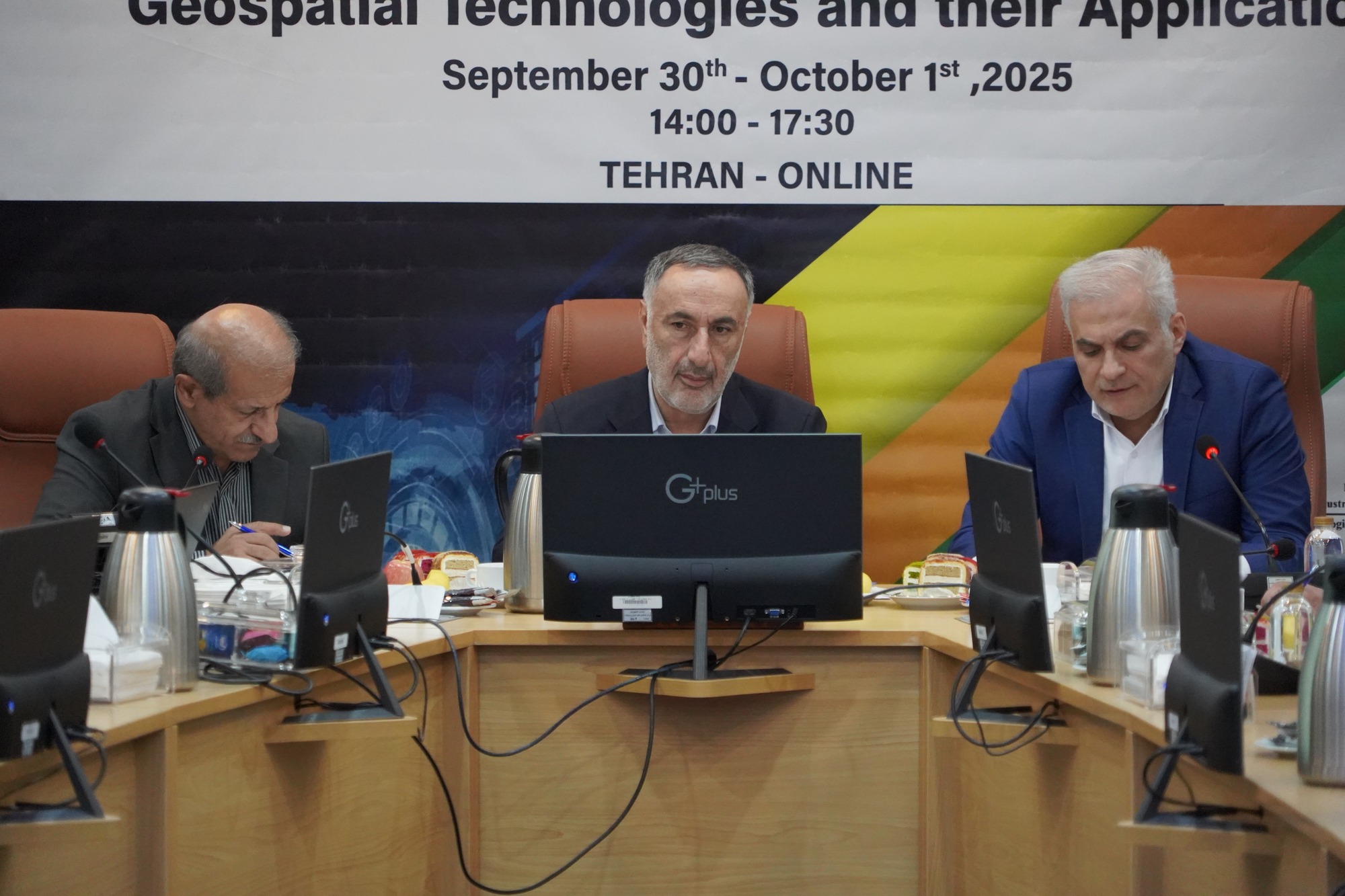
The meeting, held virtually on September 29th and 30th, was organized and managed by the National Cartographic Center and took place at the Presidential Center for International Cooperation and Development. The session commenced with a speech by Dr. Seyed Eskander Seydaei, Director General of the National Cartographic Center and Deputy of the Plan and Budget Organization.
In his keynote address, Dr. Seydaei emphasized the critical importance of geospatial data governance as the backbone of sustainable development. He stressed that effective and forward-looking planning in the modern era is heavily reliant on scientific, transparent, accurate, and reliable data. Dr. Seydaei described geospatial sciences as a combination of cartography, geology, and other related disciplines, responsible for extracting and transforming geospatial data into maps, systems, and actionable information. He noted that this vital information provides a powerful tool for national leaders and international organizations to make strategic decisions and conduct operational planning with greater precision.
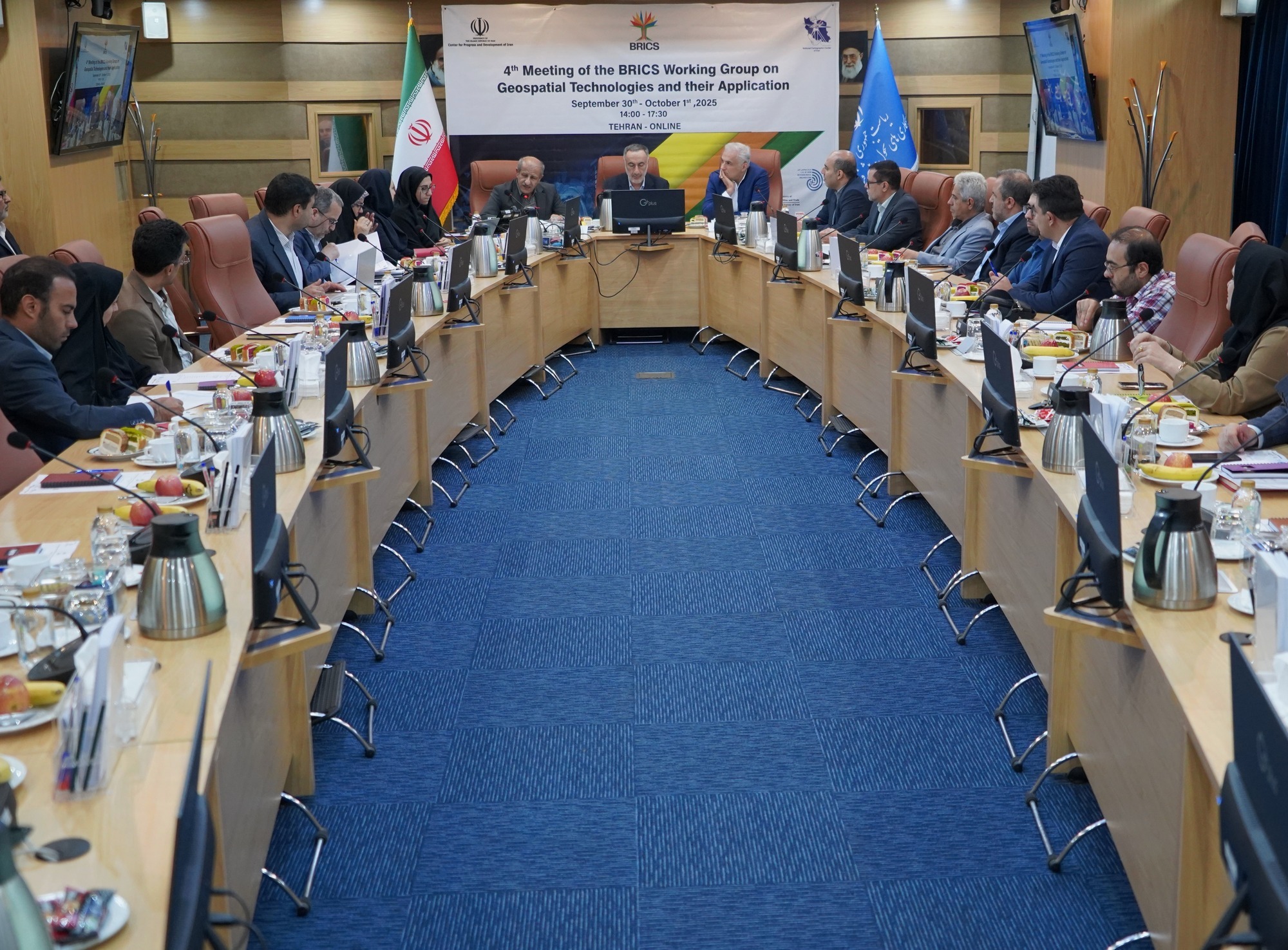
The first day of the meeting provided a valuable opportunity for BRICS member states—including Russia, India, China, Brazil, Indonesia, South Africa, and other members—to share their annual experiences and achievements in geospatial information technologies. This knowledge exchange included examples of integrating satellite, drone, aerial imagery, and GPS data, highlighting their wide-ranging applications in fields such as transportation, urban management, sustainable development, and crisis management.
Concluding his remarks, Dr. Seydaei described BRICS as a powerful consortium representing nearly half of the world's population, emphasizing its principles of free trade, open economies, and breaking the monopoly of global superpowers. He expressed hope that these meetings would strengthen multilateral scientific and technological cooperation, foster knowledge and experience exchange, and ultimately lead to synergy and sustainable development among BRICS members. He reiterated the Islamic Republic of Iran's commitment to serious engagement and cooperation with the powerful BRICS nations, particularly in the field of data governance, to strengthen the foundation for developing geospatial technologies.
The meeting, which saw significant participation, continued with member states presenting their achievements on two main themes: "Artificial Intelligence and Geospatial Information Technologies" and "The Role of Geospatial Information in Sustainable Development." A representative from Russia, the host of the previous BRICS meeting, first reported on that event, followed by presentations from delegates of Brazil, China, Egypt, Ethiopia, India, Indonesia, Russia, and South Africa.
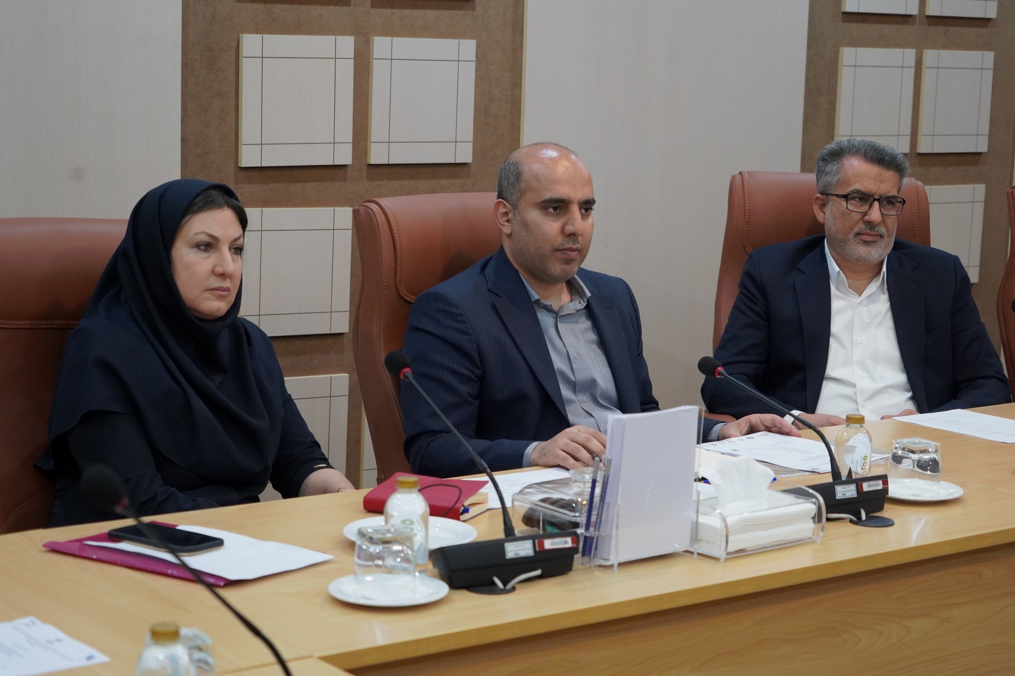
Dr. Ramin Papi, General Manager of the Director’s office, Public Relations, and International Affairs of the National Cartographic Center, who acted as the meeting's coordinator and liaison, invited Geographical Organization of the Armed Force, Geological Survey & Mineral Exploration of Iran, and Meteorological Organization to participate. He emphasized Iran's strong interest in collaborating with BRICS member states through joint projects and knowledge sharing. Furthermore, Dr. Morteza Seddighi, Deputy for Technical and Geospatial Information Production, delivered a lecture titled "Geospatial Data, Supporting Planning and Management," detailing the achievements and initiatives of the National Cartographic Center.


comment