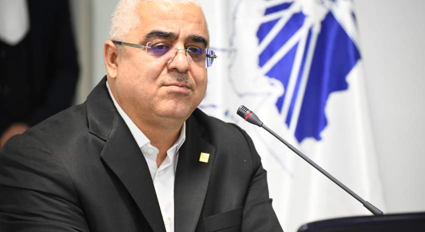
On the occasion of World Hydrography Day, Dr. Jafarzadeh Imanabadi, Director General of National Cartographic Center of IRAN (NC
Makran Coast and Arvand Bank Development Directly Links to Hydrography
On the occasion of World Hydrography Day, Jafarzadeh Imanabadi, Director General of National Cartographic Center of IRAN, while stressing the role of Hydrography in sea-based development, states that without benefiting from Hydrography, it is not possible to identify water zones and marine development.

The role of hydrography in sea-based development
Jafarzadeh Imanabadi on the role of hydrography in sea-based development said: "Hydrography provides the basic information needed to better understand the water areas and coastal and marine studies so that without hydrography, water areas identifying and marine development will not be possible."
He added: "It should be noted that more than 70% of the planet is covered by water and the seas play a basic role in human life and the international community is well aware of this issue and therefore one hundred years ago the World Hydrography Organization was established to coordinate hydrographic activities and prepare marine maps.
Director General of NCC, noting that according to the estimates of the World Hydrographic Organization, the return on investment from having a national hydrographic program is on the order of 1:10. He emphasized the NCC goals, especially concerning hydrography, maritime safety, and protection of the marine environment.
Jafarzadeh Imanabadi stated the Sixth Development Plan includes, two specific spatial-based issues related to the development of Makran coast and Arvand bank, and obviously, both issues are directly related to hydrography and require the implementation of bathymetry operations and the production of nautical charts in this field.
Hydrography is out of the monopoly
Jafarzadeh Imanabadi reminded that since the year 2000, with the joining of Iran Abnagar vessel to the country's hydrographic fleet, hydrographic operations gained higher speed; additionally, the publication of nautical charts from the southern waters of the country, which was monopolized by the British until 2015, was taken out of the monopoly with the beginning of the work of the National Hydrographic Committee and the international publication of national charts.
He continued: "Currently, 62 electronic navigational charts produced by the NCC internationally have been published and provided to seafarers. It not only shows the country's domestic authority and power but also brings half a million dollars of foreign exchange income to Iran annually."
Director General of NCC stated that the organization manages the national network of sea-level monitoring in the northern and southern waters of the country and the data of this network is used in hydrographic affairs in marine hazard management, development of coastal industries, fishing, and protection of the marine environment.


comment