
At the Eighth session of the Committee on Disaster Risk Reduction of ESCAP in Bangkok:
NCC Director General Attends the Expert Group Meeting of ESCAP as the only Official Representative of the Islamic Republic of Iran
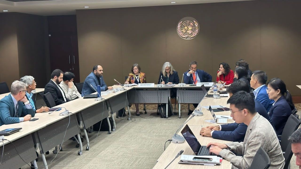
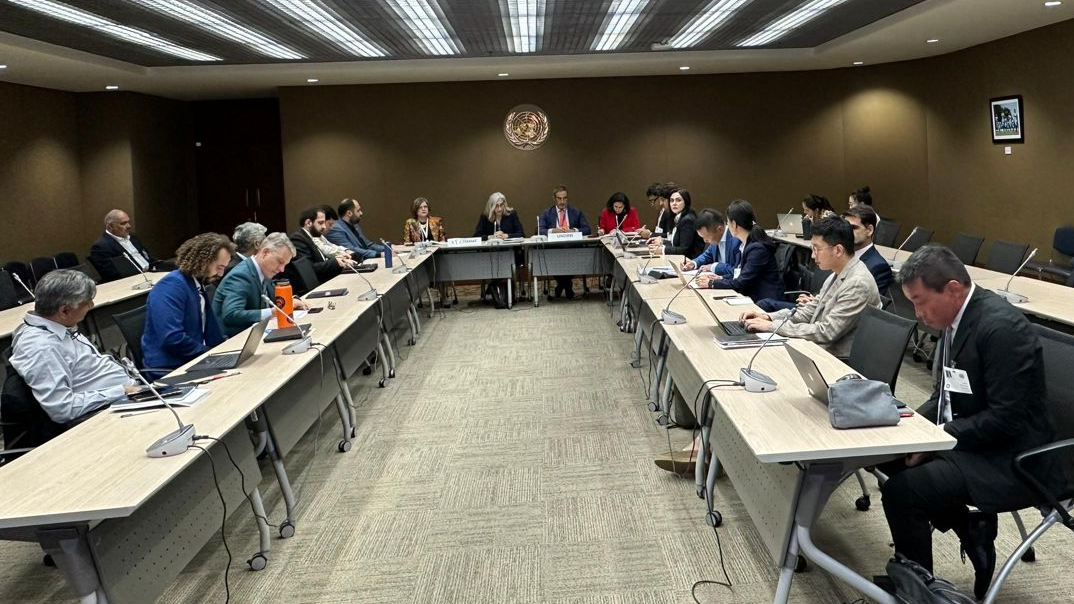
According to NCC News, quoted from the International Cooperation and Engineering Services Export Office of NCC, the Eighth session of the Committee on Disaster Risk Reduction of the United Nations Economic and Social Commission for Asia and the Pacific (ESCAP) is held in Bangkok, Thailand from 24 to 27 July 2023.
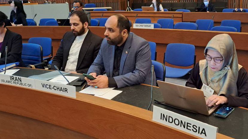
Ali Javidaneh, the Director General of NCC, as the only official representative of the Islamic Republic of Iran attended the third day of this international meeting in Bangkok, after the official invitation of the Under-Secretary-General of the United Nations and Executive Secretary of ESCAP, while many follow-ups were done by the ambassador of the Islamic Republic of Iran in Bangkok.
At the eighth session of the Committee on Disaster Risk Reduction of the United Nations Economic and Social Commission for Asia and the Pacific (ESCAP), Javidaneh spoke about the measures of the Islamic Republic of Iran, the role of spatial information in crisis management, Iran's support for the Asian and Pacific Centre for the Development of Disaster Information Management (APDIM) and the need to develop early warning systems for crisis management.
Director General of NCC, participated in the panel discussion on “Disaster Risk Data Governance and Policy Design” and gave a speech about the data policies and actions of Iran and the National Cartographic Center of Iran in this regard, which was welcomed by the participants, the Ministry of Foreign Affairs and the Ambassador of the Islamic Republic of Iran in Bangkok.
Pointing out that more than 80 percent of information has spatial nature and the disaster information is directly related to maps and spatial information, he said: “subsidence, floods, earthquakes are all modeled based on maps and mapping techniques and the Geomatics can easily help a lot in crisis management by making location information available and Spatial Data Information (SDI), which is a known term and an agreed solution in data sharing in a sustainable way, is the right answer for this issue. He further stated: “Spatial Data Information (SDI) has different components that provide reliable data of various organizations to all kinds of users through a single output called Geoportal. Currently, there are international standards and solutions that are designed and published in this regard but mainly due to the lack of macro-policy levels, they are not widely implemented.”
Javidaneh continued: “As you know, Spatial Data Information (SDI) has a hierarchical structure, therefore, as I suggested in the seventh session of the Governing Council of APDIM in Istanbul, Turkey, I emphasize that we must create a regional SDI for disaster information management so that we can share it.”
Javidaneh added: “I am proud to announce that the National Cartographic Center of Iran has succeeded in implementing the SDI sub-portal that focuses specifically on disasters, which includes information such as flood models, land subsidence, the spread of the corona virus, earthquakes and earth strains and etc.”
Dr. Javidaneh, the deputy head of Plan and Budget Organization of the Islamic Republic of Iran, held bilateral meetings with the ambassador of the Islamic Republic of Iran, director of APDIM and the head of ESCAP on the sidelines of this meeting.


comment