
NCC of Iran Holds International Specialized Training Course for Members of ECO Human Resources and Sustainable Development Committee
National Cartographic Center of Iran held the first international specialized training course for the members of Human Resources and Sustainable Development Committee of the Economic Cooperation Organization (ECO) on December 16 and 17, 2024.
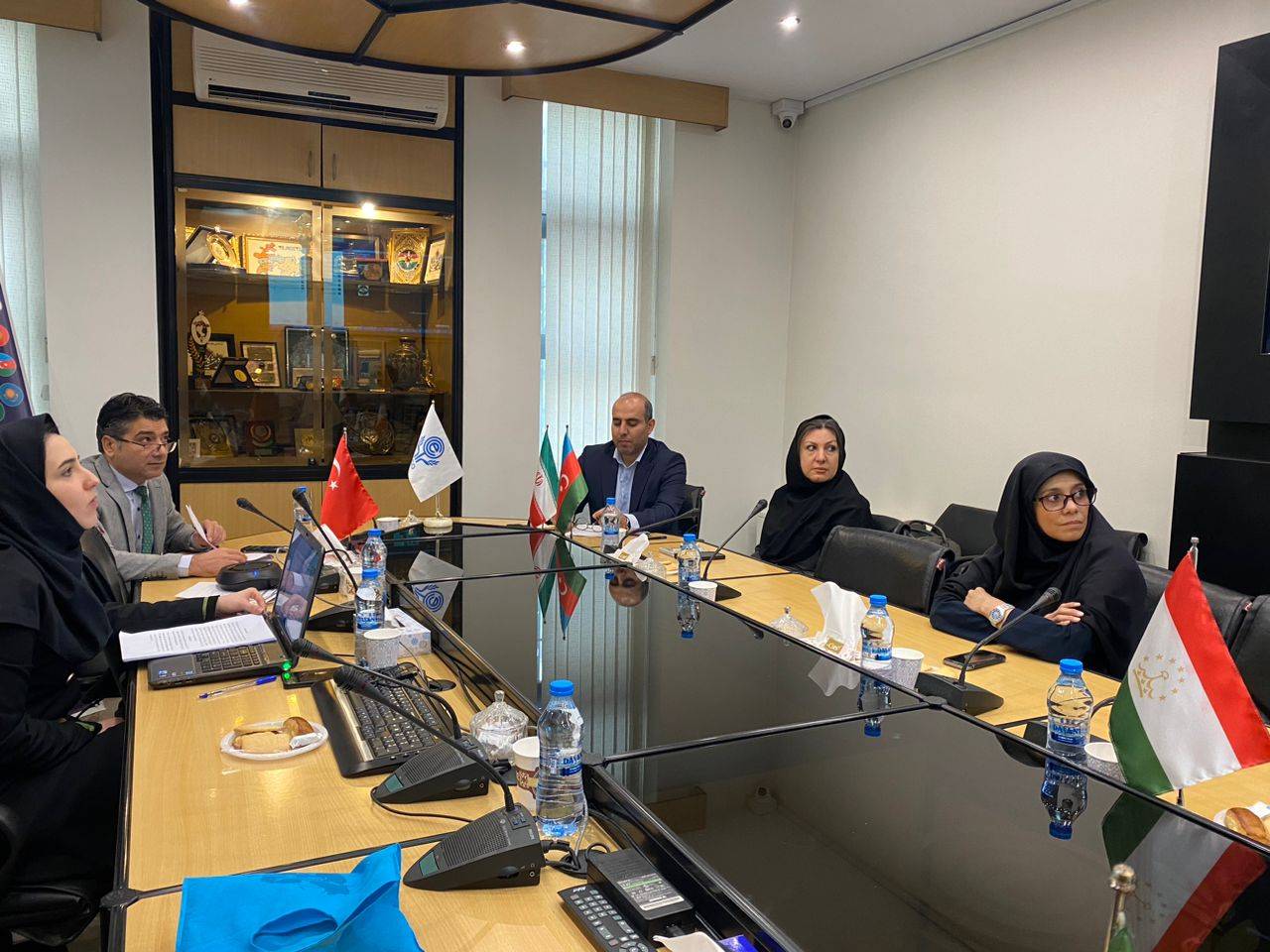
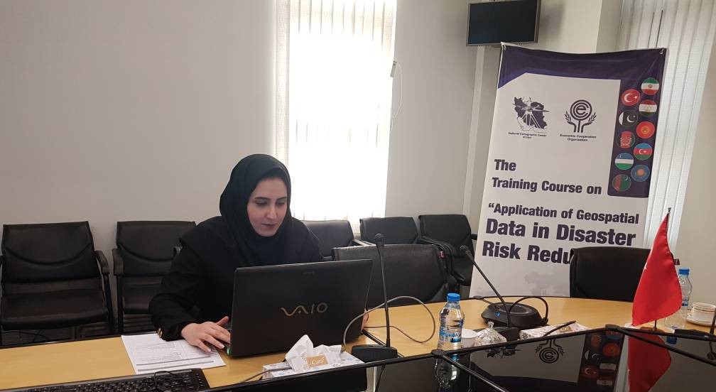
According to NCC news, quoted from the International Cooperation and Engineering Services Export Office of NCC, The first international specialized training course on “Application of Spatial Data in Disaster Risk Reduction” was successfully held for the members of Human Resources and Sustainable Development Committee of the Economic Cooperation Organization (ECO) by the National Cartographic Center of Iran on December 16 and 17, 2024.
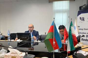
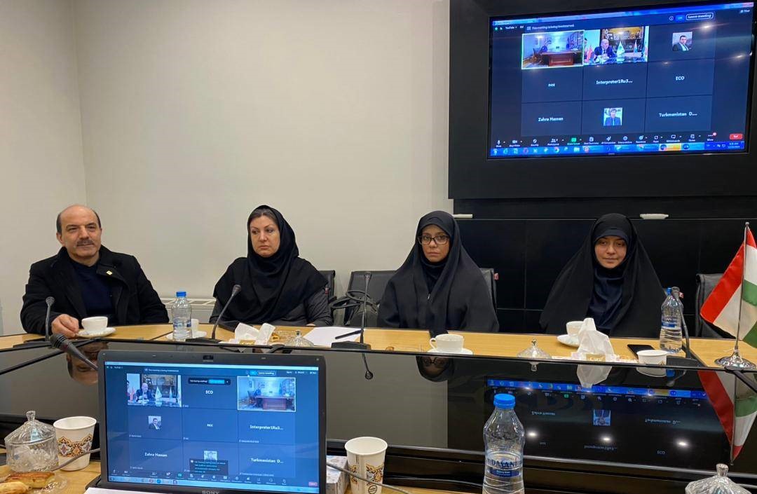
This training course was held in the form of a webinar in English, by the Crisis Management Committee of the National Cartographic Center of Iran under the supervision of the International Cooperation and Engineering Services Export Office of NCC and the ECO Secretariat.
On the first day of this course, Mr. Silapberdi Nurberdiyev, the Deputy Secretary General for Transport & Communication and Human Resource & Sustainable Development at the ECO Secretariat, welcomed the representatives of ECO member countries, participants, professors, and organizers of this training course and thanked the National Cartographic Center of Iran as the organizer of the course. He also stated, “Spatial data plays a significant role in crisis management and reducing the arising risks, and it is necessary for ECO member countries to share their experiences and knowledge in the field of crisis management and mapping sciences.”
Ali Javidaneh, the Director General of NCC, welcomed the audience and stated that the Islamic Republic of Iran has become self-sufficient in meeting its needs in the field of mapping and spatial information. He announced, “The National Cartographic Center of the Islamic Republic of Iran is ready to export innovative technical and engineering services in the field of spatial information to ECO member countries and has so far succeeded in holding 6 international specialized training courses for ECO member countries over the past eight years as part of the activities of ECO Geomatics Committee.”
In the continuation of the session, Masoumeh Amighpay, Head of the Leveling and InSAR Office of NCC, gave a lecture on the application of radar images and expressed ground deformation and risk studies in monitoring ground movements, and provided detailed explanations about radar images with synthetic aperture and Interferometric Synthetic Aperture Radar (InSAR) as a Satellite-based technique. She also presented several cases of the application of this technique in earthquake, volcano, and subsidence studies.
Hamidreza Nankali, Head of the Earthquake Working Group of the Crisis Management Committee of NCC, explained the movements of tectonic plates and the earthquake cycle in seismically active areas using GNSS and continued to discuss the stages of design, collection, processing, analysis and modeling in crisis management. He also proposed the establishment of an ECO regional GNSS network for ECO member countries.
On the second day of this training course, Mehrnoush Ommati, Head of the Image Processing and Remote Sensing Office of NCC, spoke about the crisis management cycle and the role of remote sensing techniques in different stages of this cycle and provided the necessary explanations.
Finally, Ramin Papi, Head of the National Geoportal Department of NCC, explained the application of remote sensing and hydrographic technologies in monitoring climate change and its effects on the topic of “The Role of Spatial Information in Climate Change” and provided the necessary details on the use of Geospatial Information System in risk modeling and cartography in displaying and presenting spatial information related to climate change. Subsequently, he explained the hazards such as drought, dust, and the crisis of water resources and agriculture in Iran and the Middle East. He also pointed out the constructive role of the National Cartographic Center of Iran in the planning and content of international documents of the Intergovernmental Panel on Climate Change.
Mr. Husnu Tekin, ECO Director for Human Resources and Sustainable Development (HRSD), chaired the meeting as the coordinator of the training course during these two days. It is worth noting that this course was attended by a significant number of participants from ECO member countries.


comment