
In the 3rd ECO Geomatics Committee Training Course, National Cartographic Center of Iran proposes:
NCC to Establish ECO GNSS Permanent Network and ECO Reference Framework (ECO-RF) for ECO member States
In the 3rd ECO Geomatics Committee Training Course, National Cartographic Center of Iran proposed the establishment of ECO GNSS Permanent Network and ECO Reference Framework (ECO-RF) for ECO member states
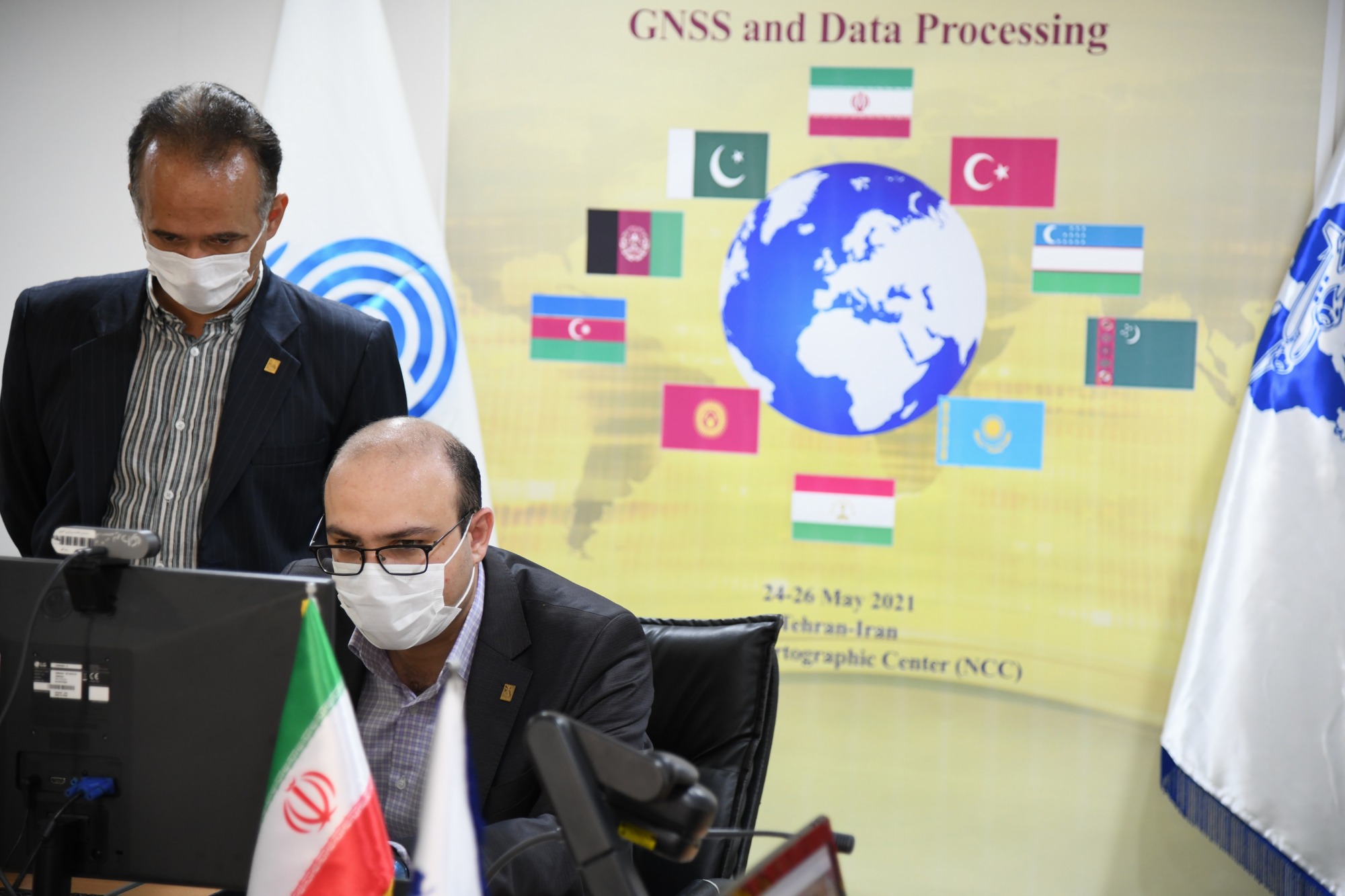
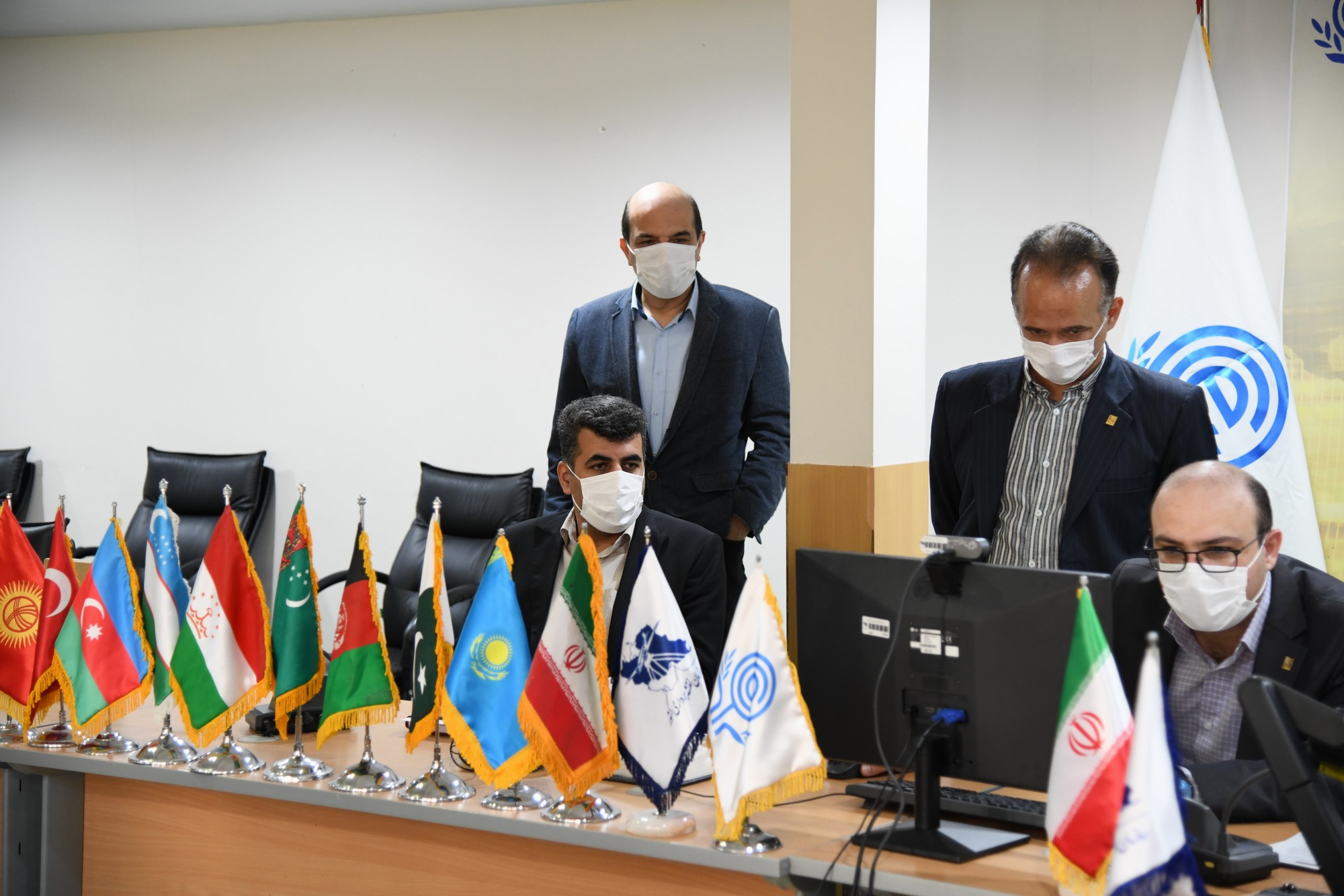
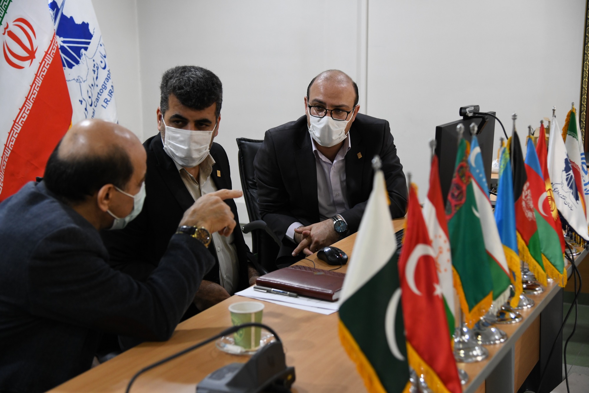
According to NCC report, National Cartographic Center of Iran virtually held the 3rd technical training course in the field of Geomatics for ECO members, for 3 consectuive days in May 2021 in English language, under the supervision of the International Relations Office and in cooperation with the Department of Geodesy and Land Surveying.
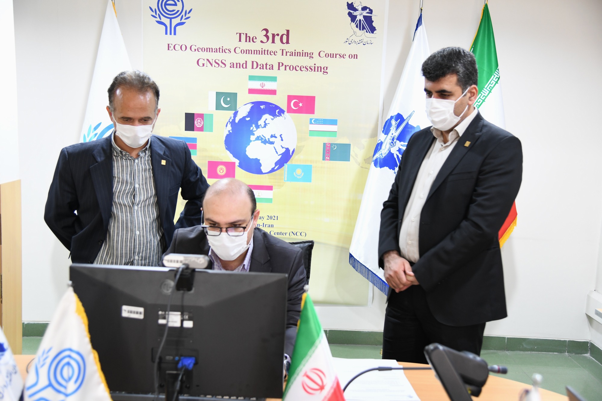
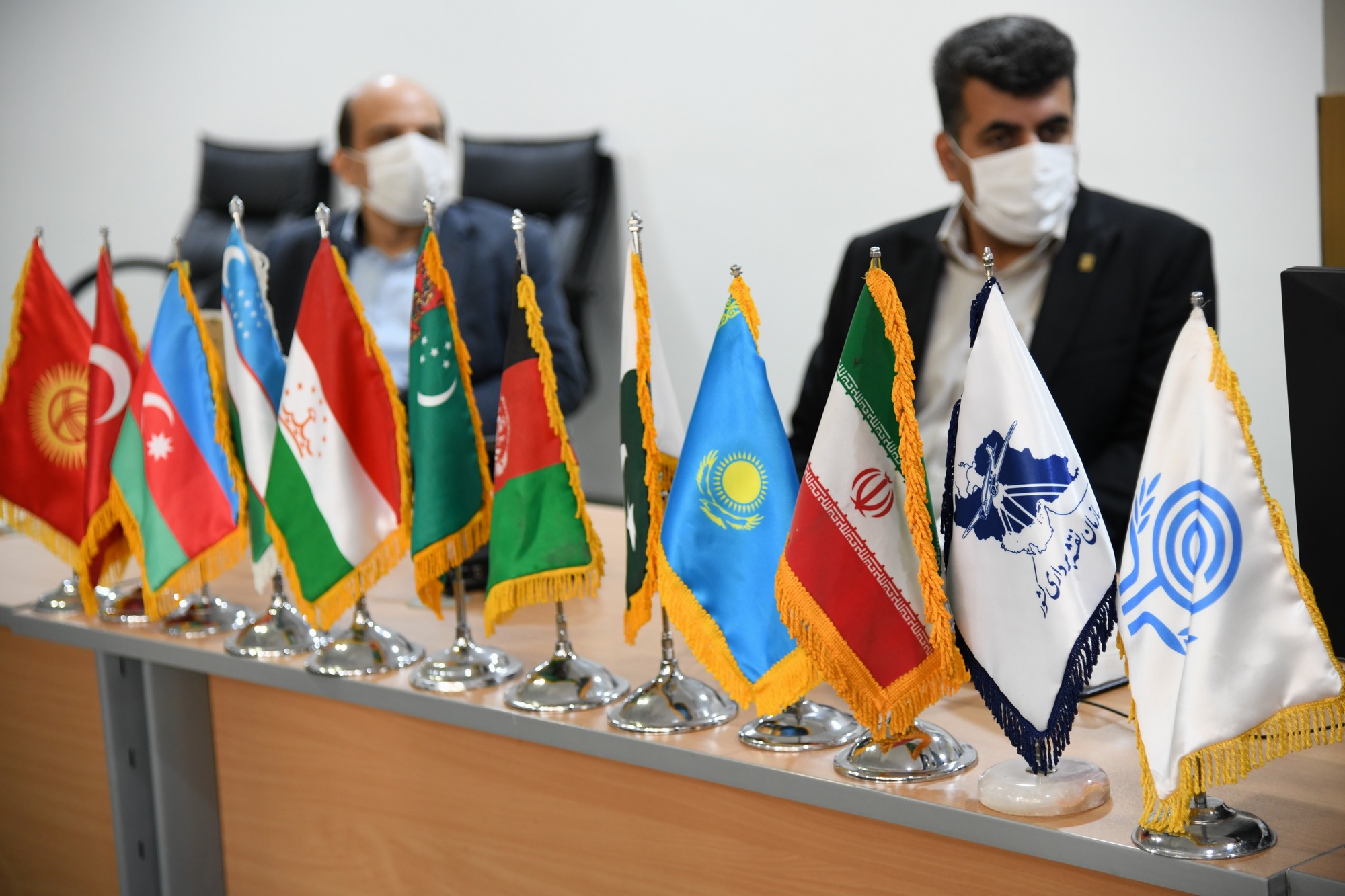
In this meeting, which was virtually held from 24 to 26 of May 2021, first Dr. Ali Soltanpour, the Manager of Hydrography and Tidal Affairs Department of NCC and the Secretary of ECO Geomatics Committee, while welcoming the participants, stressed the importance of Geomatics in the economic development of the region and while referring the capacities of ECO member countries, emphasized the importance of the role of training courses in capacity building of ECO member states.
In the following, Eng. Hamed Moradian, Head of the International Relations Office of NCC, who was responsible for coordinating the training course, reviewed the training program for the participants and coordinated with the Secretariat for maximum attendance of member states.
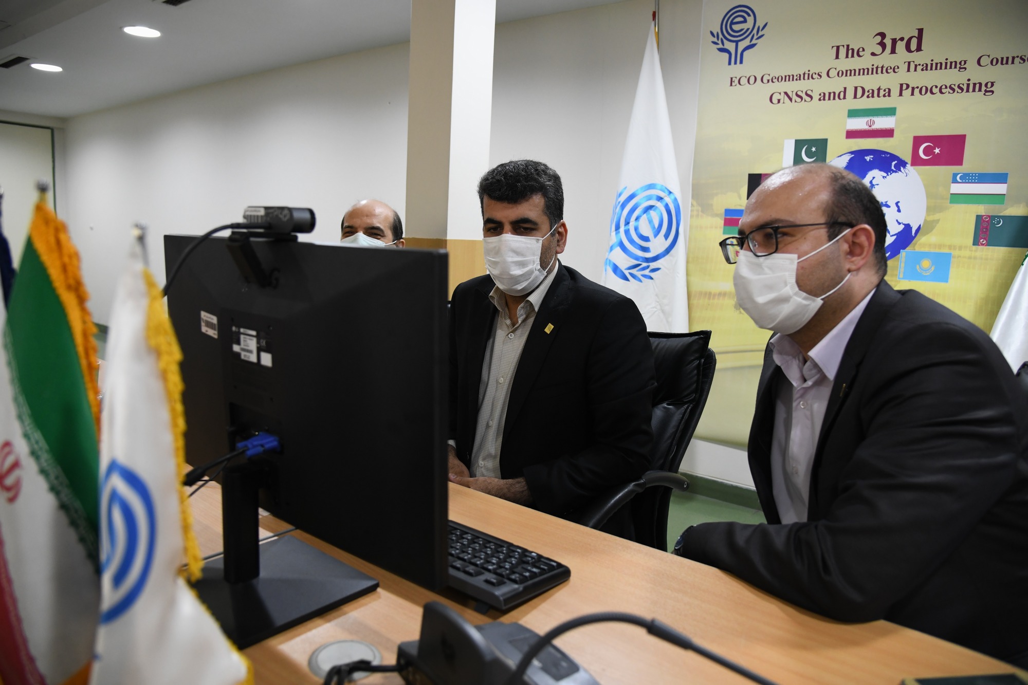
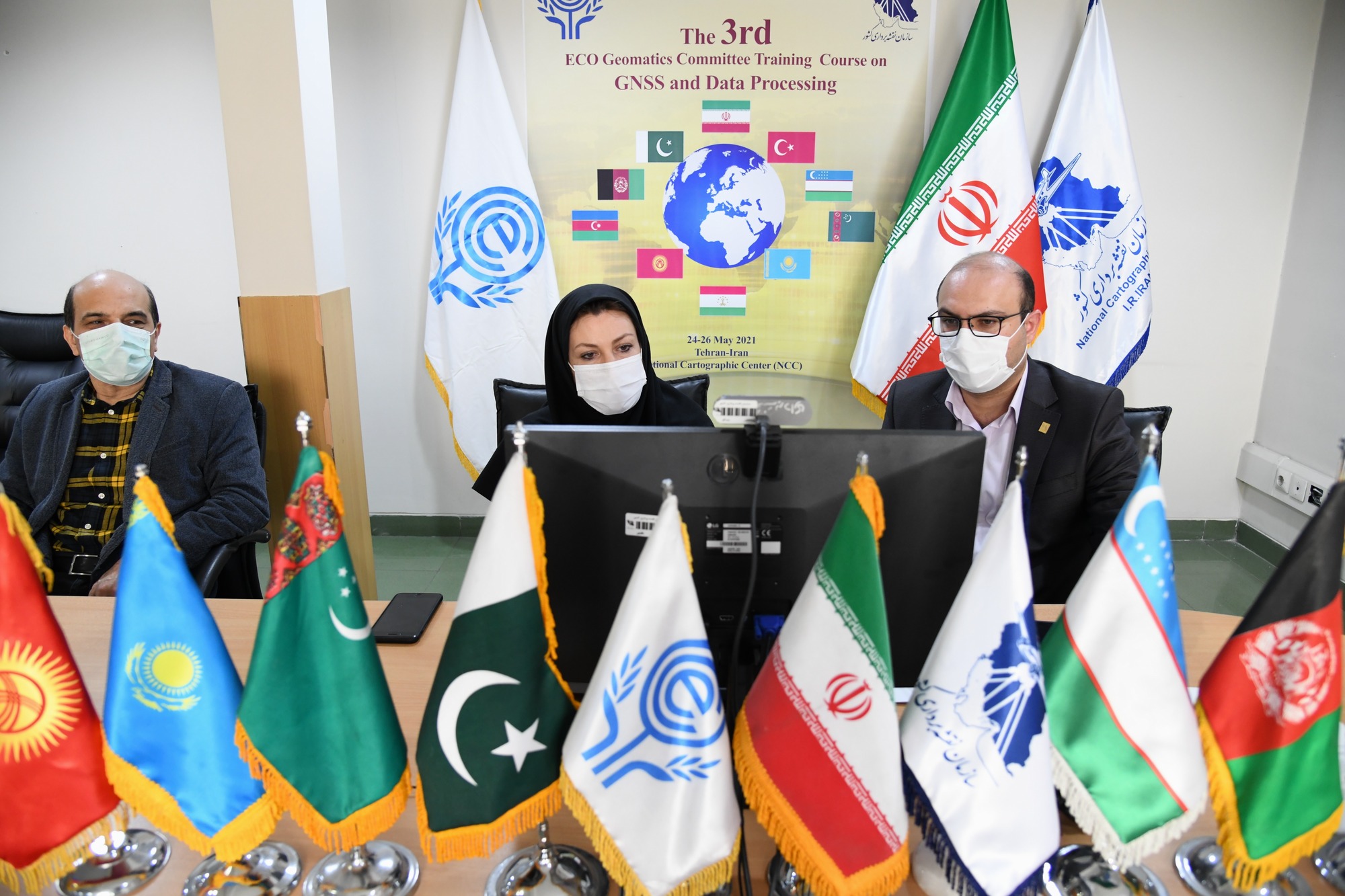
Then Dr. Seyed Abdolreza Saadat, General Manager of Geodesy and land surveying and Dr. Hamidreza Nankeli, Head of Geodesy and Geodynamics of NCC as trainers of this training course, started teaching Global Navigation Satellite System (GNSS) including the introduction of national and global coordinate reference framework, astronomical geodesy concepts and satellite positioning techniques and GNSS Data Processing and Analysis methods.
Also in this course, GNSS Data Processing methods using GAMIT/GLOBK software was explained by Eng. Azadeh Aghamohammadi and Eng. Fatemeh Khorrami.
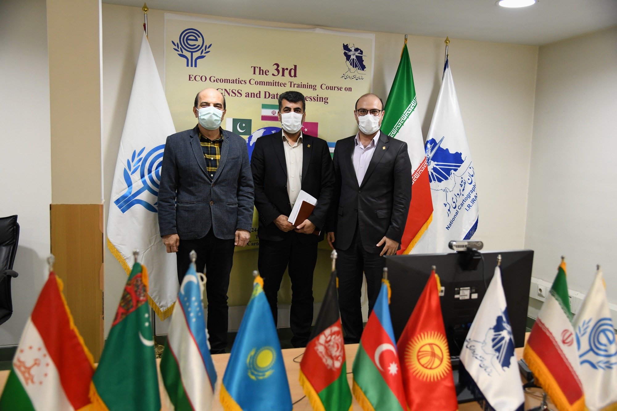
On the last day; National Cartographic Center of Iran proposed the establishment of ECO GNSS Permanent Network and ECO Reference Framework (ECO-RF) via sharing GNSS data for ECO member countries, which was warly welcomed by the ECO Secretariat and ECO member countries.
It is worth mentioning that in the recent years, National Cartographic Center of Iran has held two training courses on “Unification of Height Datums” for ECO members states.


comment