
National Cartographic Center of Iran Representatives Deliver Speeches and Reports at 14th UN-GGIM-AP Plenary Meeting
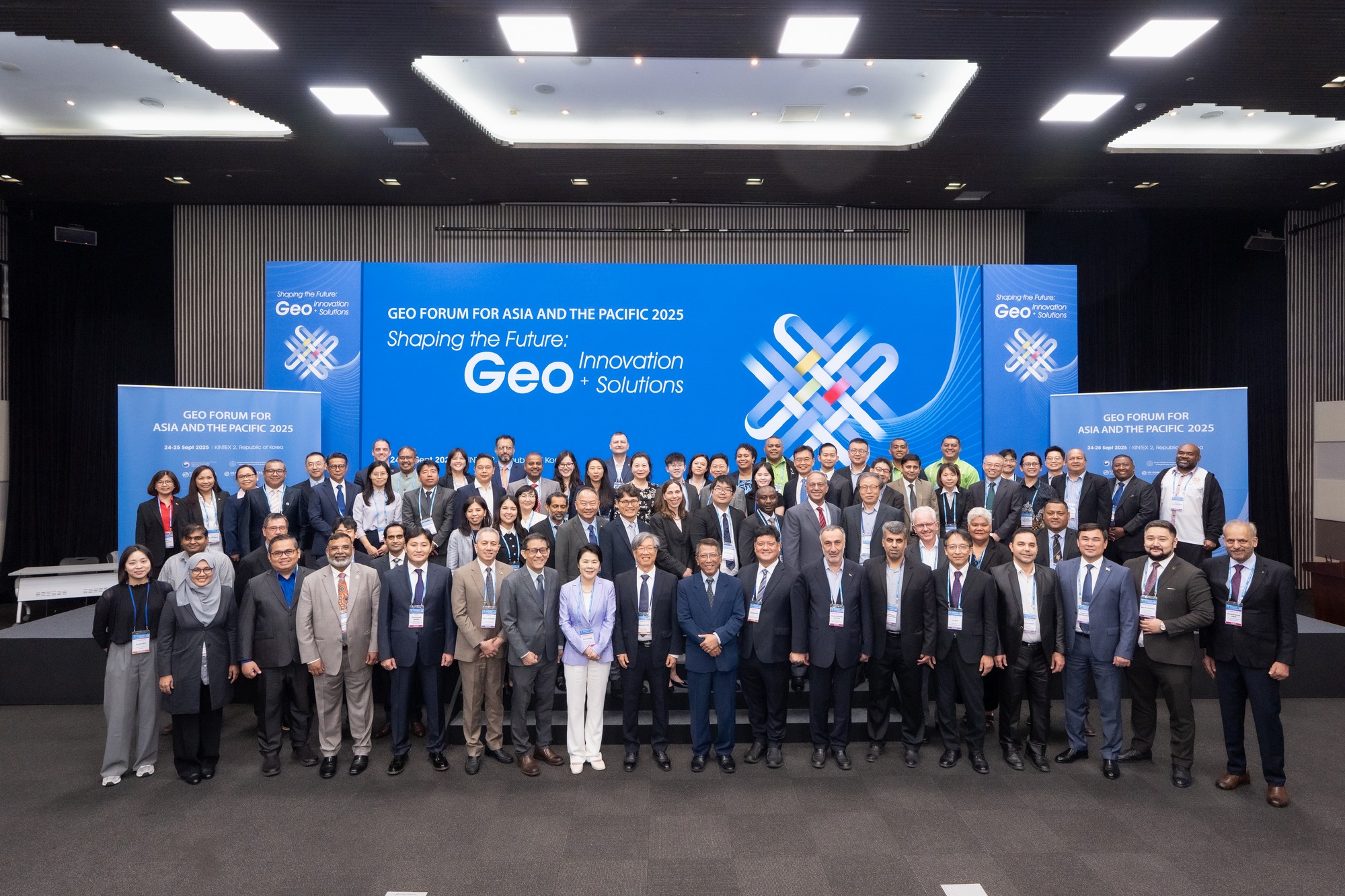
The 14th Plenary Meeting of the United Nations Global Geospatial Information Management for Asia and the Pacific (UN-GGIM-AP) concluded in Goyang, South Korea, from September 24 to 26, 2025. This pivotal event brought together geospatial experts and national authorities from across the Asia-Pacific region to discuss advancements and strategic applications of geospatial information. Representatives from Iran's National Cartographic Center (NCC) played a prominent role in the proceedings. The participation of countries from the Asia-Pacific region in this meeting is vital for strengthening international cooperation and advancing the strategic use of geospatial data to address pressing global challenges and achieve sustainable development goals.
Dr. Seyed Eskandar Seydaei, Director General of the National Cartographic Center and Chairman of Working Group 3 on Integrating Geospatial Information and Statistics, emphasized Iran's commitment to advancing the integration of statistical and spatial data for monitoring Sustainable Development Goals (SDGs). He highlighted Iran's specialized, scientific, and up-to-date capabilities in mapping and geospatial information within the UN-GGIM-AP framework.
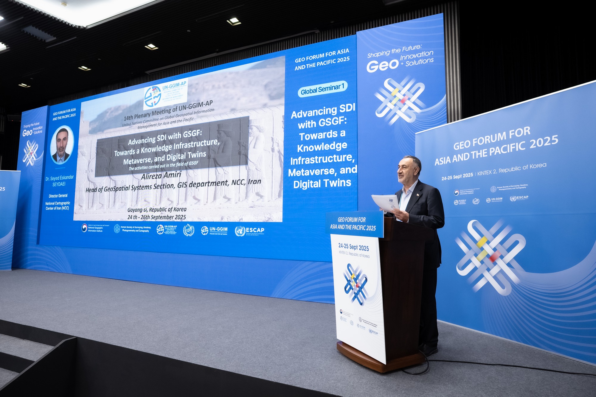
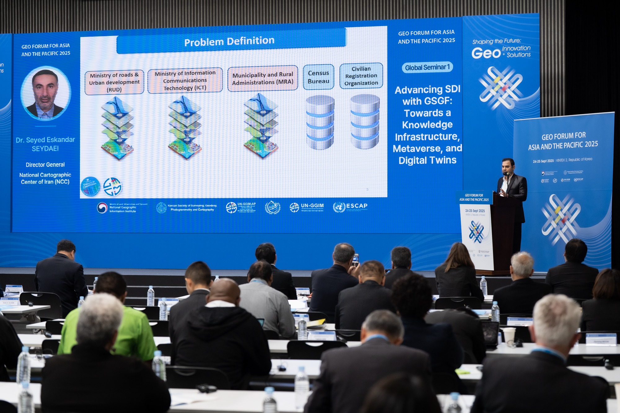
Mr. Alireza Amiri, Head of the Geospatial Systems and Spatial Database Management Department at NCC, showcased Iran's innovative strides in geospatial information technologies with his presentation titled "Advancing SDI with GSGF: Towards a Knowledge Infrastructure, Metaverse, and Digital Twins." His speech detailed specialized activities undertaken by the NCC in implementing the Global Statistical Geospatial Framework (GSGF), including the creation of a national grid, 3D web services, virtual and augmented reality. He emphasized its role in shaping future knowledge infrastructures, particularly in the emerging domains of the Metaverse and Digital Twins. This presentation demonstrated Iran's forward-thinking approach to utilizing advanced technologies in geospatial information management to create more comprehensive and interactive spatial data infrastructures. Additionally, in another speech, Mr. Amiri provided explanations regarding the components of the Integrated Geospatial Information Framework implemented in Iran.
Furthermore, Dr. Seydaei presented Iran's activities aligned with the objectives of Working Group 3 during its session, leading to a decision by members to undertake a joint regional pilot project. Dr. Abdolreza Saadat, General Manager of Geodesy and Land Surveying, also engaged in discussions and exchanges with other members of Working Group 1, focusing on the Geodetic Reference Frame, to advance its objectives. In the concluding part of the meeting, the resolutions of the session were finalized, and the chairs of the working groups, including Iran, outlined their respective group's resolutions.


comment