

National Cartographic Center of Iran Joins Founding Board of the World Geospatial Industry Alliance
National Cartographic Center (NCC) of Iran has accepted a formal invitation to join the Founding Board of the World Geospatial Industry Alliance (WAGI), a new UN-backed international body launched by the United Nations Global Geospatial Knowledge and Innovation Centre (UN-GGKIC) to foster global cooperation across the geospatial industry.
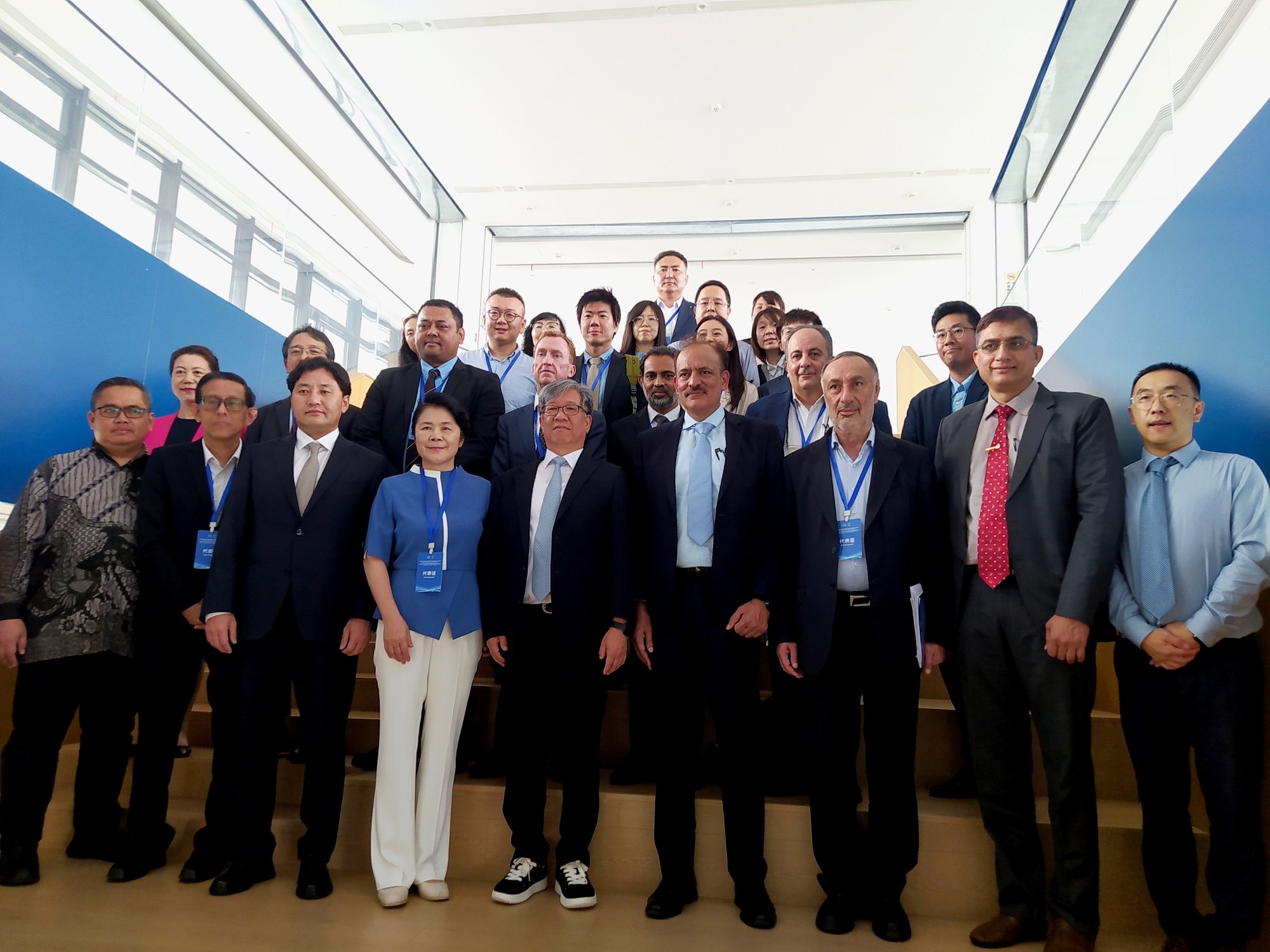
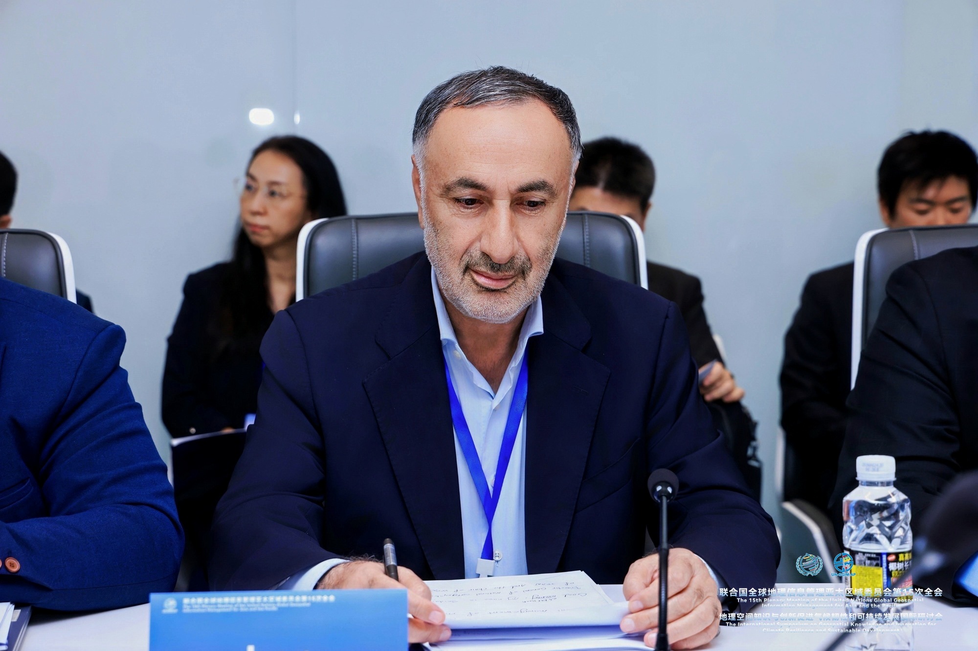
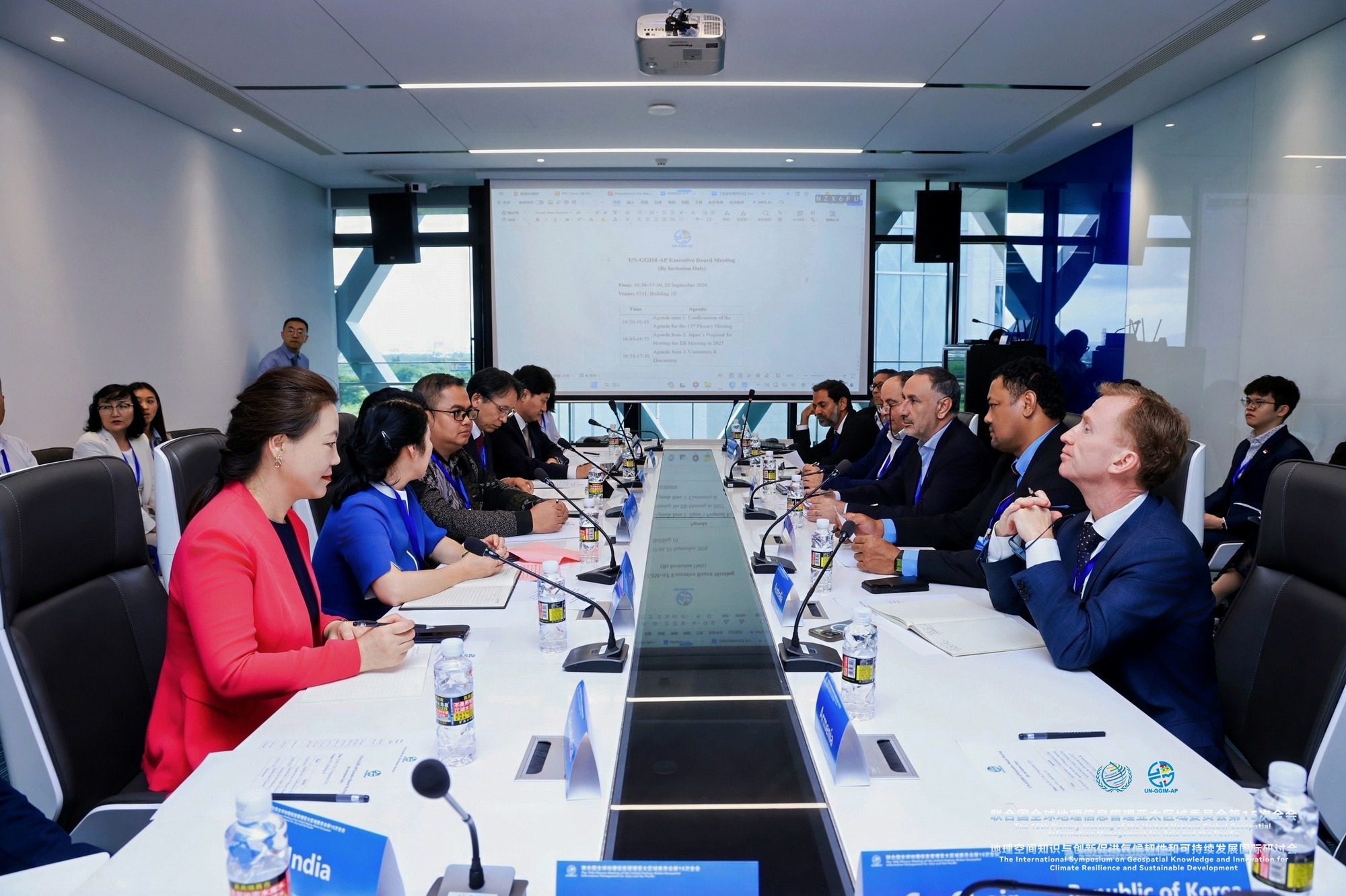
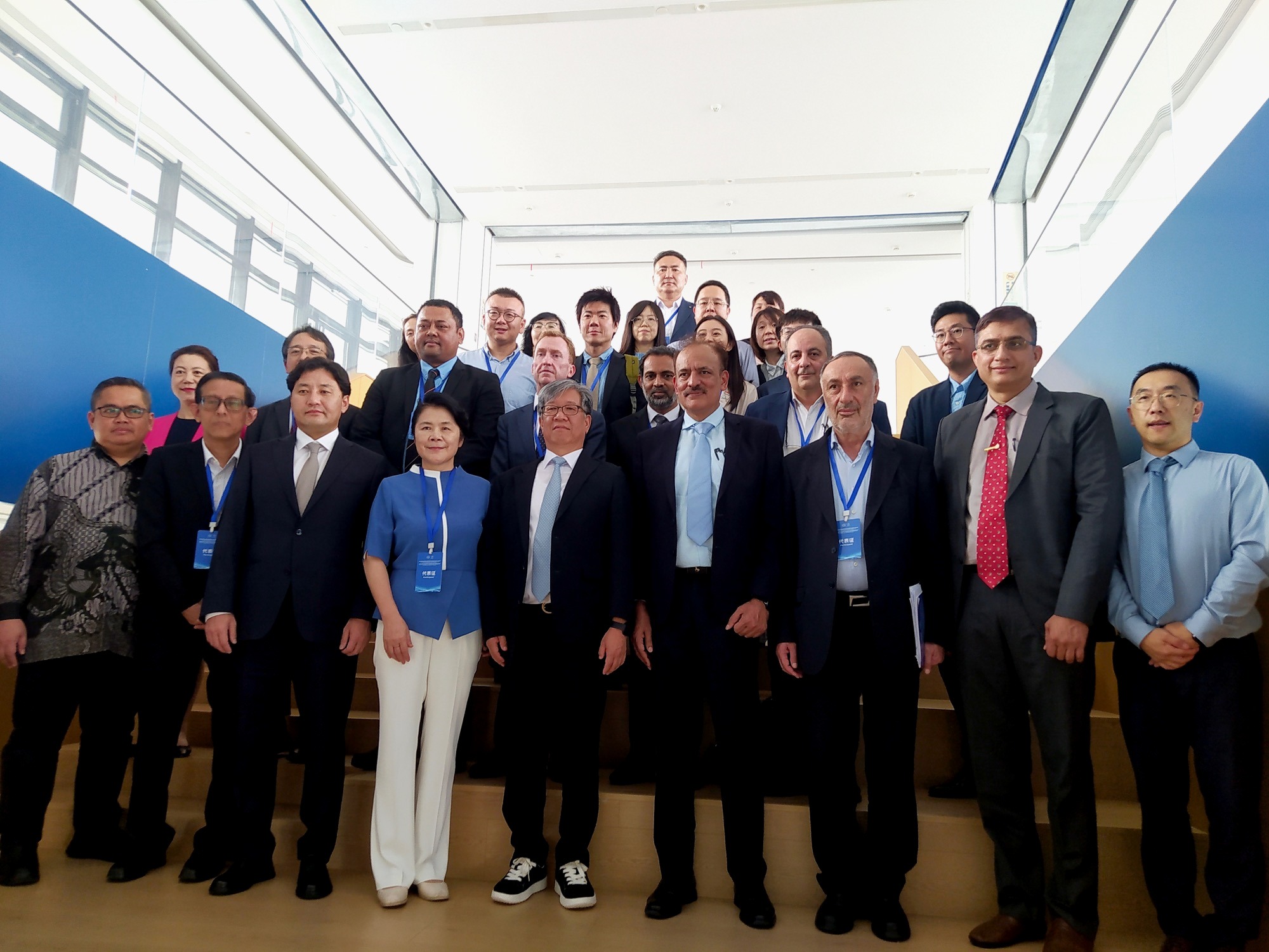
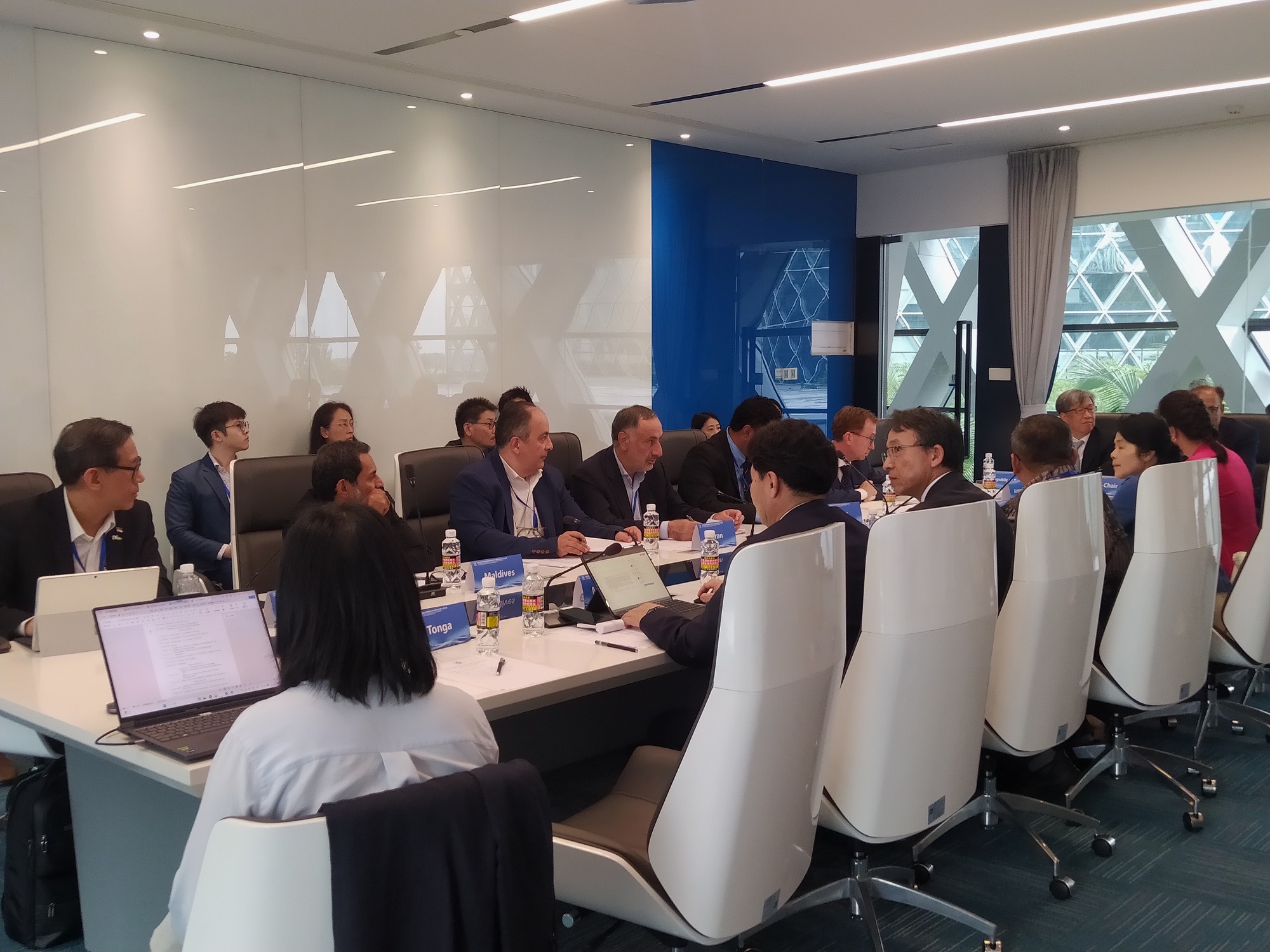
On the sidelines of the 15th United Nations Global Geospatial Information Management for Asia and the Pacific (UN-GGIM-AP) events currently underway in Sanya, China, a meeting of the UN-GGIM-AP Executive Board was held. Dr. Seidaei, Director General of the National Cartographic Center of Iran (NCC), attended the meeting as the representative of the Islamic Republic of Iran and a core member of the Executive Board. During the session, Japan's proposal to host the next Executive Board meeting in 2027 was put forward.
Following the meeting, which was attended by the chairs of the five UN-GGIM-AP working groups, the co-chairs of UN-GGIM-AP and the President of UNGGKIC extended a formal invitation to Iran's National Cartographic Center to join the Founding Board of the World Geospatial Industry Alliance (WAGI).
The invitation letter stated: "The establishment of the World Geospatial Industry Alliance (WAGI) was proposed at the opening ceremony of the Second United Nations Global Geospatial Information Meeting (UN GEONOW). This initiative was launched by the United Nations Global Geospatial Knowledge and Innovation Centre (UN-GGKIC). The Alliance, initiated by the UN Innovation Centre, will operate as an international organization for the global geospatial industry under the guidance of the UN Innovation Centre. The Alliance aims to build an open, collaborative, and inclusive global cooperation network for the geospatial industry; create a practical and efficient platform for international industrial cooperation; accelerate the deep integration of global industrial and innovation chains; and promote technological innovation, knowledge sharing, industrial coordination, and the joint development of capacities and standards. The Alliance also seeks to advance the balanced and sustainable global development of the geospatial industry, enhance the geospatial support capabilities of its members and related organizations, and contribute to achieving the United Nations 2030 Agenda for Sustainable Development. As a founding member, your organization (the National Cartographic Center of Iran) will participate in developing the Alliance's Charter and Strategic Plan, consultations on organizational launch, discussions on operational and support mechanisms, recommendations for the first annual work plan, and proposals concerning the structure, election procedures, and nomination of candidates for leadership bodies. It is proposed that the Alliance Secretariat be established in Deqing, China, where the UN Innovation Centre is located. We hereby extend our sincere invitation to your organization to join the Alliance as a founding member, participate in major decisions related to its establishment, and promote global cooperation and the balanced development of the geospatial industry."
Following the delivery and review of the invitation, the National Cartographic Center of Iran announced its agreement to the proposal, and the organization became a member of the Founding Board of the World Geospatial Industry Alliance.







comment