
National Cartographic Center of Iran Showcases Seven Decades of Geospatial Excellence at KazanForum
Director General, Seydaei highlights NCC's pioneering role in geomatic and international collaboration during Russia-Islamic World summit
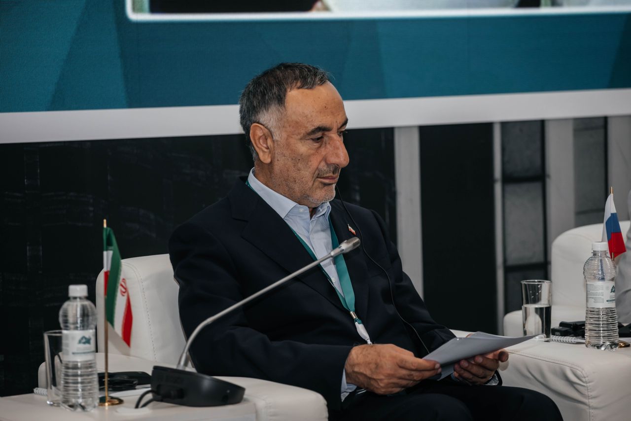
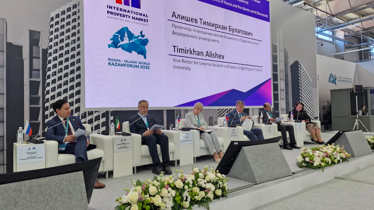
Kazan, Russia – According to the International Cooperation and Technical Services Export Department, the 16th International Economic Summit "Russia-Islamic World: KazanForum" featured a specialized roundtable on geospatial information, convening representatives from Islamic countries and Russia. Seyed Eskandar Seydaei, Director General of Iran’s National Cartographic Center (NCC), delivered a keynote address highlighting the organization’s seven decades of achievements and its critical role in advancing development projects through geospatial data.
During his speech, Seydaei detailed the NCC’s contributions to foundational mapping, standardization of geomatic processes, and the development of national topographic databases. He stressed the necessity of international collaboration in geospatial sciences, noting its significance for sustainable development and infrastructure planning.
"The National Cartographic Center of Iran has consistently pioneered the application of geospatial data for national progress," stated Seydaei. "Our initiatives underpin vital sectors such as urban planning, disaster management, and resource optimization. We are dedicated to strengthening global partnerships to further innovation in this field."
The KazanForum, a premier platform for economic and technological dialogue between Russia and the Islamic world, facilitated expert discussions on cutting-edge geospatial advancements. Seydaei’s participation underscored Iran’s technological strides in cartography and its commitment to multilateral geospatial cooperation.
The NCC’s initiatives are integral to Iran’s broader strategy of enhancing digital infrastructure and smart governance through precision geodata applications. As a key player in regional and international collaborations, the organization continues to solidify Iran’s reputation as a leader in geospatial sciences.


comment