
Cartography and National Atlases Department of NCC announces:
One Hundred Thousand Scale Topographic Maps Project Completes
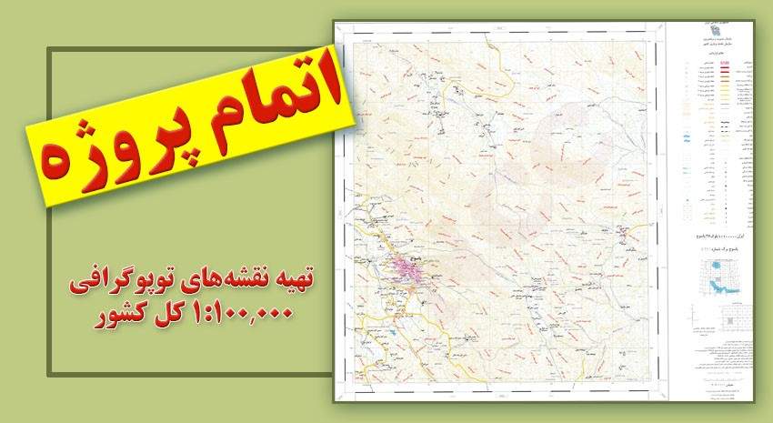
The project of preparing the country coverage maps in scales of 1۱: 1۱00000 was completed by the cartography and national atlases department in the national cartographic center of IRAN.
According to NCC News, after overcoming many challenges and with the tireless efforts of colleagues of the cartography and national atlases department, the project of preparing small maps on a scale of 1: 100000, of which initial studies and production process had started in 1997, was completed in November 1400.
This valuable collection consists of more than 700 sheets of maps, which are now available to the public in digital and printed form in DGN format, by referring to the product sales system of the NCC, (https://eshop.ncc.gov.ir/).
Without appropriate scales to the type of application of each area, Proper and principled implementation of study and development plans is not possible and will face problems. So, the production and publication of small-scale maps is of particular importance due to its wide application in preliminary studies and web display.
Applications of base maps include infrastructure study plans to develop land management plans, socio-political divisions of the country, discovery of potential resources, such as: reservoirs, mines, implementation of development plans, irrigation, military cases, security cases, etc.
Due to its responsibility in the field of production and presentation of spatial data, especially the production of base maps, NCC has taken great steps in preparing coverage maps in different scales and has been able to use various cartographic techniques to produce various products in the earliest possible time.
In this regard, the generalization of large-scale maps as a suitable solution to reduce costs and speed up the production process, was used by the cartography and national atlases department.
In order to produce digital 1: 100000 cartographic maps that are stored in DGN format, different versions of specialized Microstation and ArcGIS software along with semi-automatic cartography techniques have been used to increase the production speed and quality.


comment