
Hydrography and Tidal Affairs Department announces:
Over 64000 Electronic Navigational Charts Sales in 2020
Electronic Navigational Charts of the country's waters produced by the National Cartographic Center of Iran have been replaced with foreign charts which play a major role in ensuring maritime safety based on global requirements.
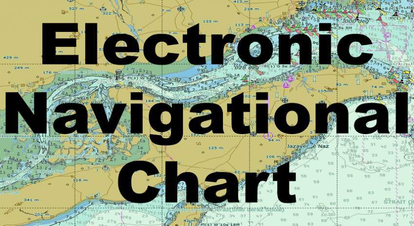
According to the International Relations Office of NCC, Electronic navigational charts of the country's waters produced by the National Cartographic Center of IRAN (NCC) have been replaced with foreign charts which play a major role in ensuring maritime safety based on global requirements.
The sale of these charts during the year 2020 brought more than three hundred and sixty thousand dollars in foreign exchange earnings for the country.
Announcing the international sales of navigational charts, Atieh Mojtahedi, deputy manager of Hydrography and Tidal Affairs Department of NCC said: "International publication of nautical charts has started since1394 and so far 62 nautical navigational charts produced by NCC have been internationally published after international control and approval, 8 of which are related to 2020." Published charts include 45 charts of the Persian Gulf, 3 charts of the Oman Sea, and 14 charts of the Caspian Sea.
With the release of internal charts, old charts made by foreign countries (Britain and Russia) were discarded, and due to the fact that these charts are updated, maritime safety in inland waters has increased."
She added: “With nearly four decades of experiences, the department of Hydrography and Tidal Affairs is in charge of hydrographic operations and preparation of marine charts of the southern and the northern waters of the country and the result is the production of hundreds of nautical charts in different scales and user bands.
The hydrographic information of the country's waters, which is collected by hydrographic equipment and vessels, after final processing and implementation of coastal information and navigation assistance, leads to the production of marine charts.
"Vessels are required to use up-to-date charts based on international law to maintain maritime safety, and therefore, chart buyers will receive updates for one year free of charge."
She continued: "The necessary arrangement has been made by the National Hydrographic Committee to prioritize and publish maritime charts, and maritime navigation charts will be published After being in the priorities of this committee."
For international publication, maritime navigational charts should be prepared and updated based on the latest standards of the International Hydrographic Organization (IHO) and under the supervision of this Organization and after ensuring the accuracy, they’ll be allowed to publish."


comment