
Participation of NCC Officials in the UN-GGIM-AP Executive Board Meeting
The representative of the National Cartographic Center of Iran participated in the Executive Board Meeting of the Regional Committee of the United Nations on Global Geospatial Information Management for Asia and the Pacific (UN-GGIM-AP) in China and presented the report on Working Group 3 of this committee.
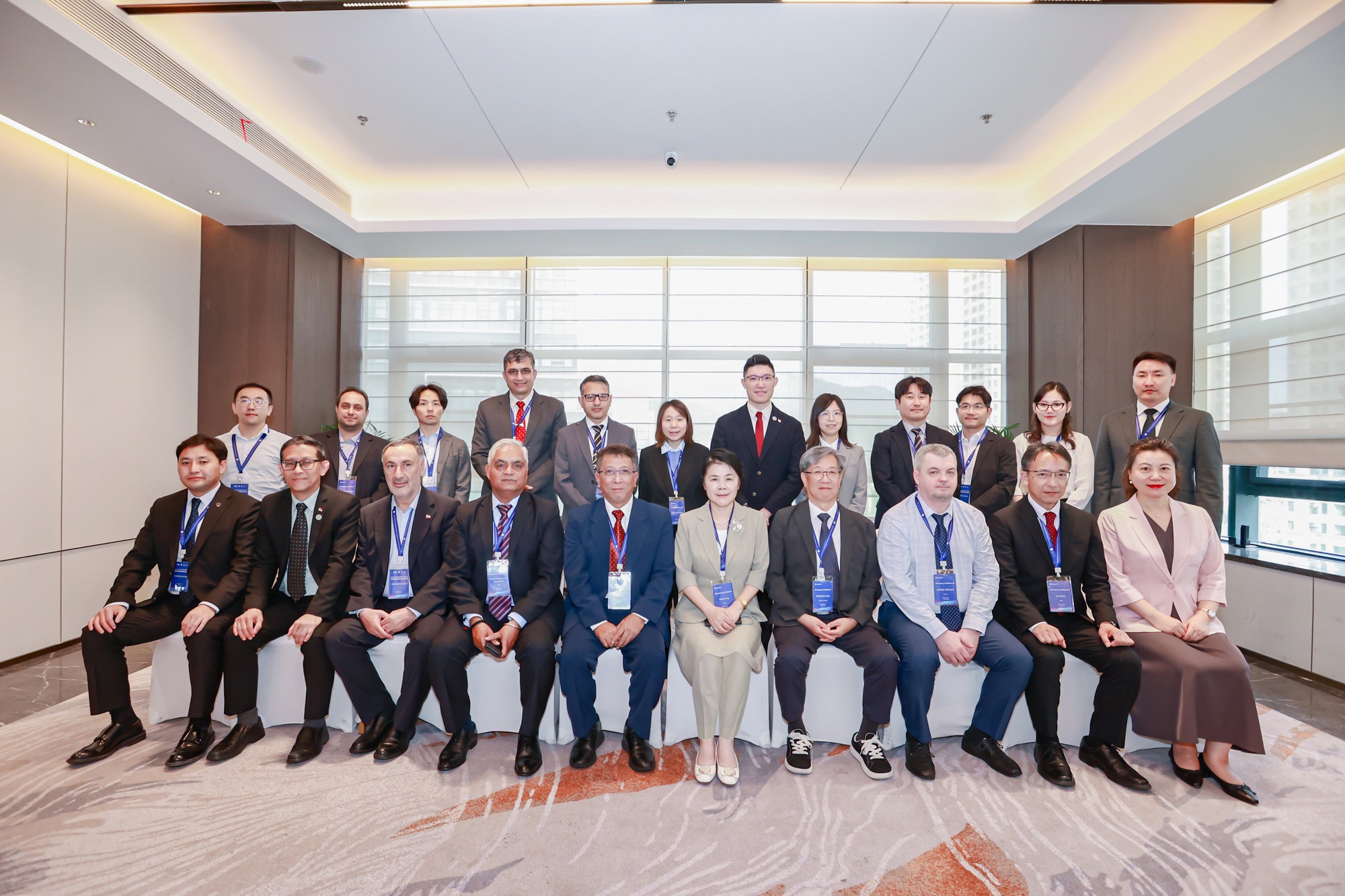
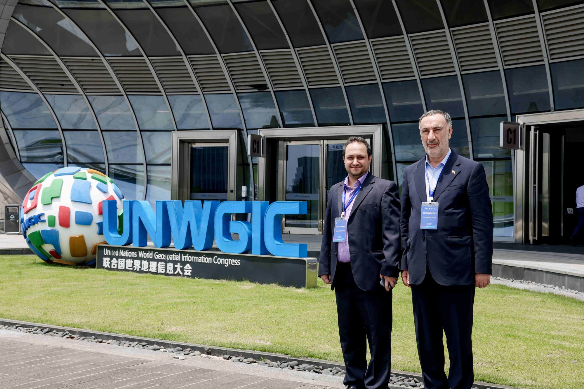
According to NCC news, quoted from the International Cooperation and Engineering Services Export Office of NCC, Dr. Seyed Eskandar Seydayei, Director General of the National Cartographic Center of Iran, and Dr. Nima Ghasemlou, General Manager Deputy of Geospatial Information Systems (GIS) and Spatial Data Infrastructures (SDI), participated in the Executive Board Meeting of the Regional Committee of the United Nations on Global Geospatial Information Management for Asia and the Pacific (UN-GGIM-AP) hosted by the Ministry of Natural Resources of the People's Republic of China (MNR). The meeting held on 3 June 2025 at the Deqing International Conference Center in Deqing, Huzhou, Zhejiang Province, China. Additionally, they participated in the Seminar on Development of Spatiotemporal Intelligence in Geospatial Information and National Land Governance on 4 June at the same venue, as well as in the field visit scheduled for 5 June. During the Executive Board Meeting, Dr. Seydayei, as Chair of Working Group 3, along with Dr. Ghasemlou, presented a report on the group's achievements over the past three years. At the end of the session, Iran proposed establishing a regional geospatial data infrastructure and implementing national grids to integrate statistical and geospatial data for flood crisis management.
On the sidelines of the meeting, Dr. Seydayei held discussions with representatives from seven member countries, including Japan, South Korea, Indonesia, Singapore, Mongolia, India, and the host nation, China, emphasizing the importance of strengthening regional cooperation in geospatial information management.
The event also included strategic discussions on the selection process for new Executive Board members and proposals for restructuring and reorganizing working groups.
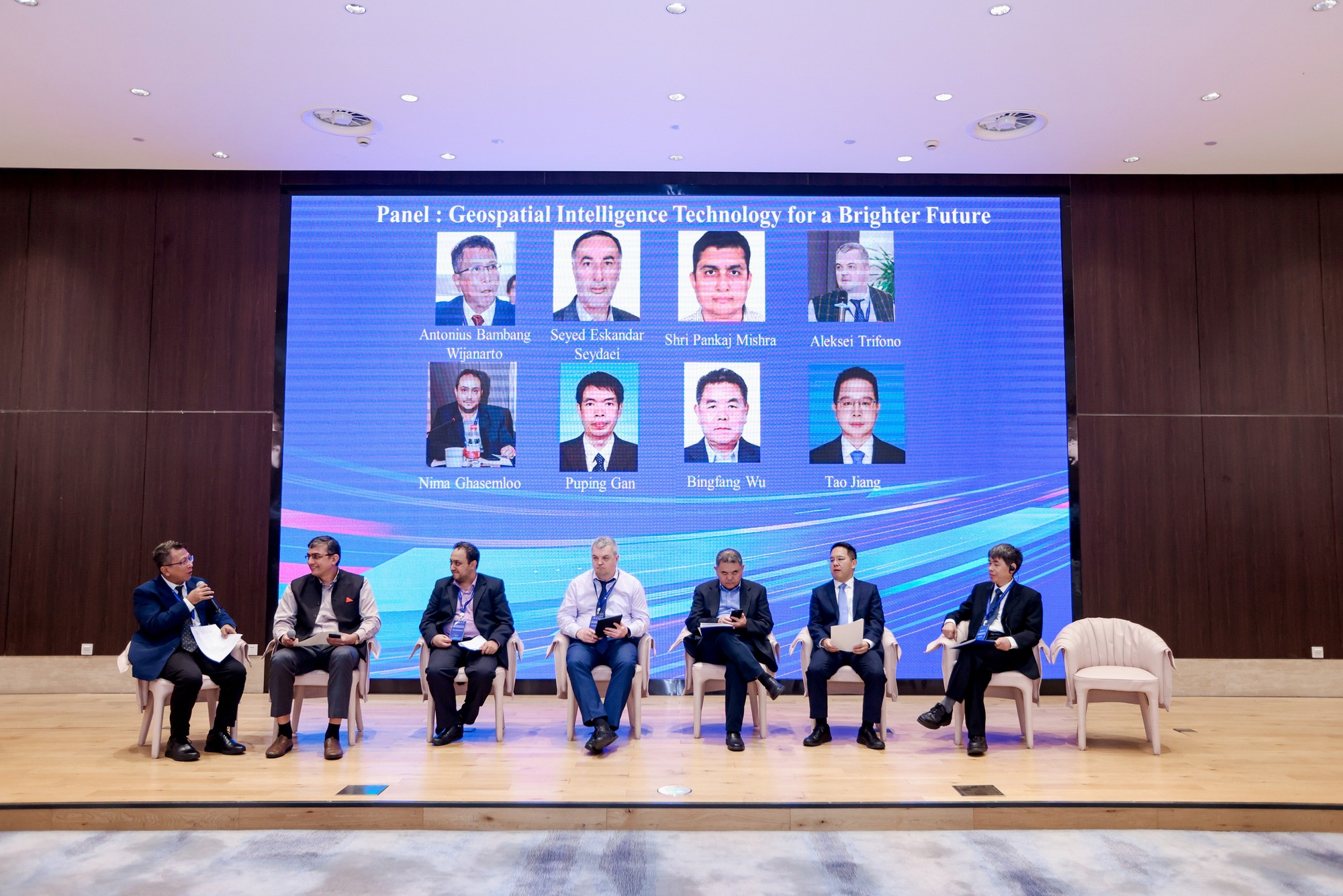
On the second day, the UN-GGIM-AP Executive Board participated in the Seminar on Development of Spatiotemporal Intelligence in Geospatial Information and National Land Governance, hosted by China's Ministry of Natural Resources. Presentations were delivered by representatives from China, India, South Korea, and Singapore. Additionally, a special panel discussion on "Smart Geospatial Technology for a Bright Future" was conducted with Dr. Seydayei and Dr. Ghasemlou, focusing on the necessity of workforce training for AI implementation in future geospatial strategies.
Deqing, located in Zhejiang Province, is recognized as one of the key geospatial hubs for the United Nations, playing a significant role in advancing the integration of geospatial technologies for sustainable development.


comment