National Cartographic Center of Iran announces:
Sea Level Monitoring Network and Tsunami Warning System Development in Strategic Makran Region
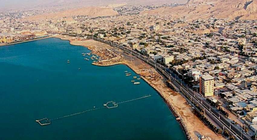
National Cartographic Center of Iran announces the Development of Sea Level Monitoring Network and Tsunami Warning System in Strategic Makran Region.

According to NCC report, with the installation of a new sea level monitoring station in the Strategic Makran Region, the number of level monitoring stations in this area increased to four stations. The obtained information is used in coastal, environmental and hydrographic studies to provide tsunami warning services.
Due to its strategic location and access to open waters, Makran region has a high potential to help Iran’s economic development, which is considered in the Sixth Development Plan based on the remarks of the Supreme Leadership Authority. For this purpose, it is necessary to provide the needed infrastructure for the development of the region. Coastal maps and nautical charts provide the basic information needed for development studies in the area. Spatial data and monitoring of its changes is necessary for proper management of development and land use planning.
National Cartographic Center of Iran has been responsible for hydrographic operations and sea level monitoring and modeling since the 1960s, and the operation of maintaining, developing and processing sea level data is carried out by the Hydrography and Tidal Affairs Department of NCC. The National Sea Level Monitoring Network has collected valuable information about sea level changes over the past three decades that has been used both in coastal and hydrographic studies and sea level modeling and forecasting.
In general, leveling networks are very important in the world, so that stations older than one hundred years are still operating in major ports of the world. The information obtained from these stations is used both to determine the height datums around the world and coastal studies. It is also used to study climate change and global warming.
It should be noted that the online information of the coastal leveling network of NCC along with tidal forecast is available to users through the website of this organization at SLMS.NCC.GOV.IR and the general public can be informed of the latest sea level at coastal stations and forecast models by visiting this site. Also, tidal forecasting through the NCCTIDE application is intended for use by navigators who do not have internet access.
The Makran region has the potential for a tsunami due to its seismic activities; therefore, this issue should be considered in the development of this region. Consequently, it is necessary to conduct studies and modeling, so that the coastal industries and infrastructure could be prepared to deal with this phenomenon. Furthermore, tsunami early warning systems should be established in this area in order to reduce the damage caused by the tsunami. Today, sea level monitoring stations are considered as part of tsunami warning systems, and stations in the Makran region are considered as tsunami early warning stations, which will soon be exploited with the development of a tsunami warning center and online submission of the information.


comment